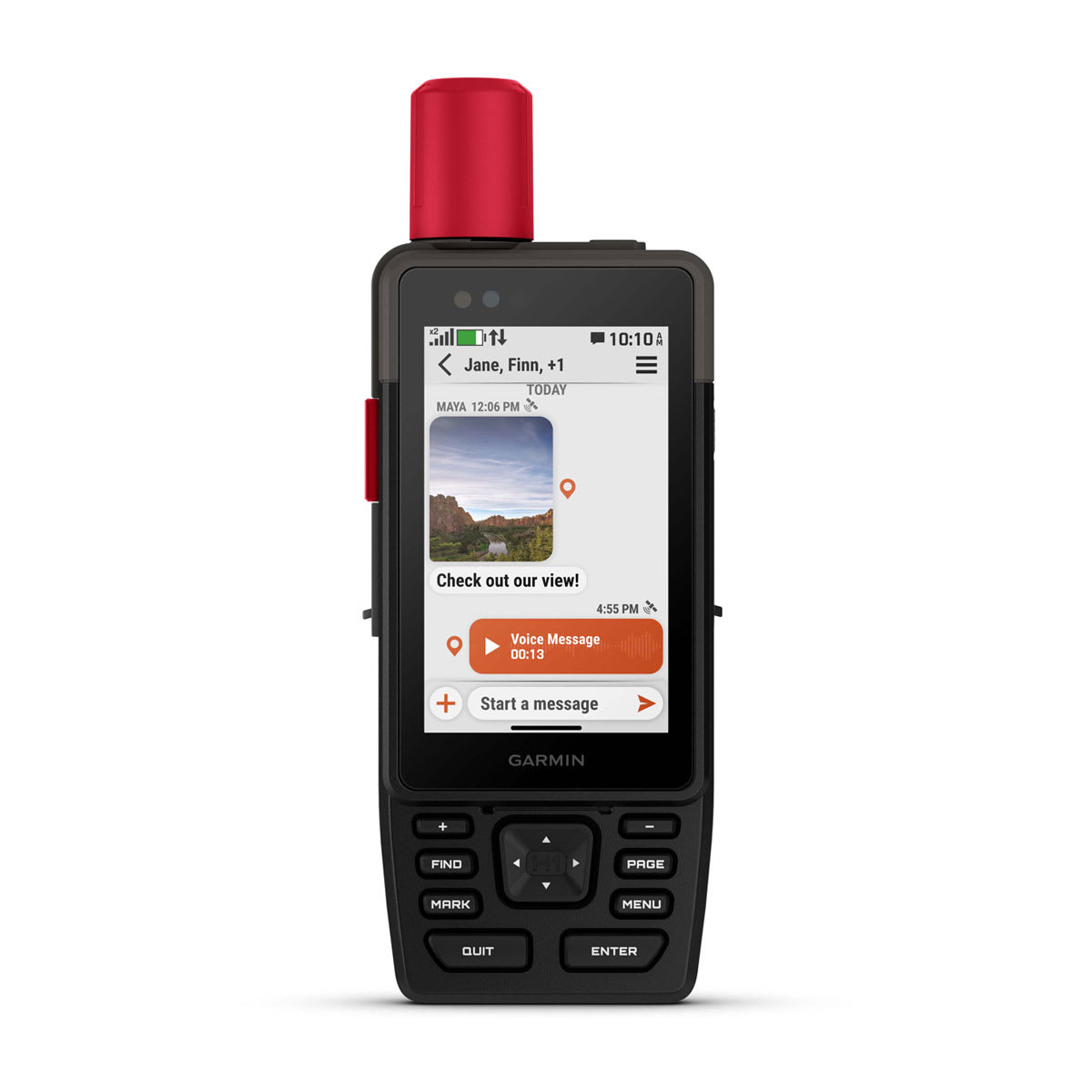
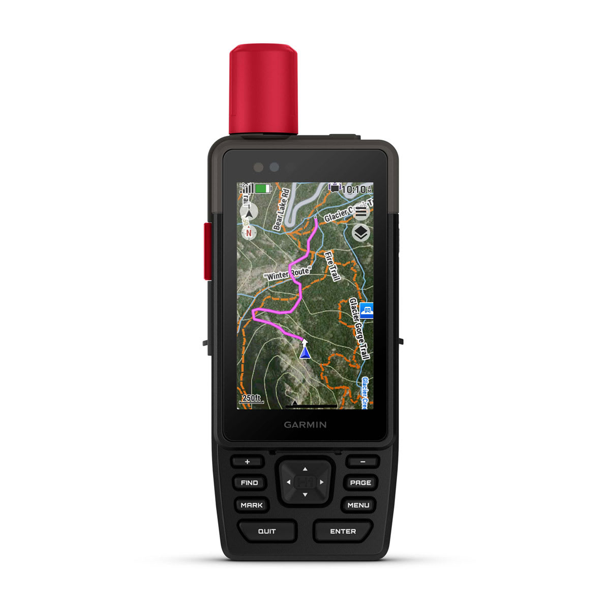
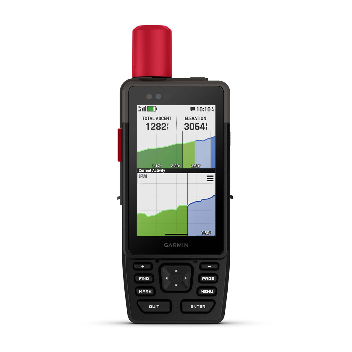
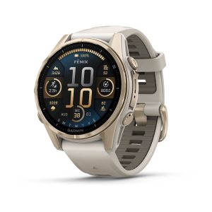
GPSMAP® H1i Plus is a premium GPS handheld with touchscreen, TopoActive maps and inReach Plus technology for sharing photos, voice memos and texts when off grid.
General
|
| Lens Material |
chemically strengthened glass
|
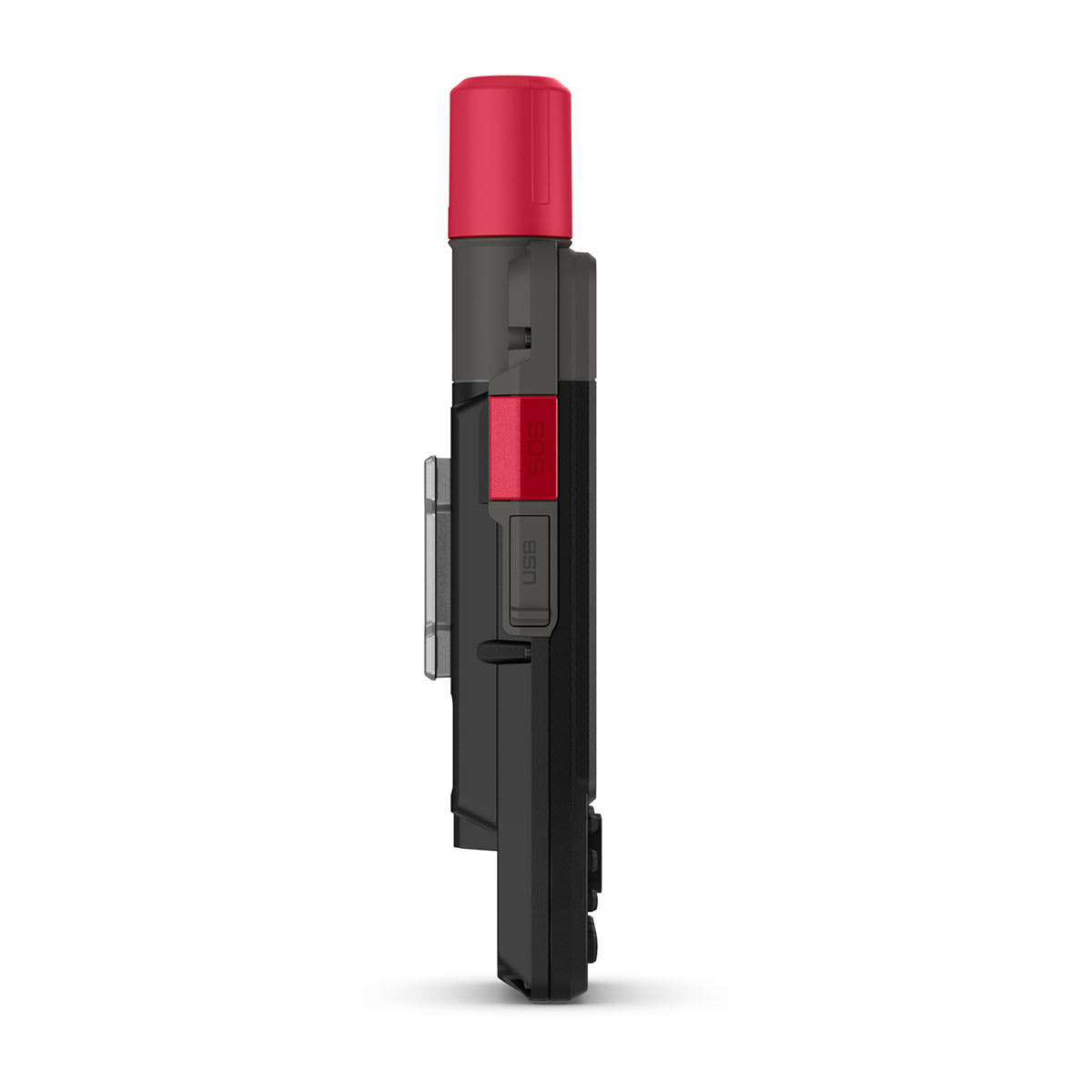
| Dimension |
2.6″ x 7.0″ x 1.3″ (6.7 cm x 17.9 cm x 3.3cm) |
| Weight |
10.2 oz (290 g)
|
| Water rating |
IP67 |
| MIL-STD-810 |
yes (thermal, shock, water); bare unit only |
| Touchscreen |
|
| Display Type |
transflective color TFT |
| Display Size |
1.9″W x 3.0″H (4.7 x 7.7 cm), 3.5″ diagonal (8.9 cm) |
| Display resolution |
282 x 470 pixels |
| Battery Type |
rechargeable, internal lithium-ion |
| Battery life |
All Satellite Systems + Multi-band: Up to 145 hours*
Expedition mode: Up to 840 hours
Performance messaging mode with 10-min inReach® tracking: Up to 48 hours*
Expedition mode with 10-min inReach® tracking: Up to 425 hours
Low-power mode with 10-min inReach® tracking: Up to 135 hours
*Assuming typical use with SatIQ™ technology
|
| Memory/History |
64 GB (user space varies based on included mapping) |
| Interface |
USB-C |
Maps & Memory
|
| Preloaded maps |
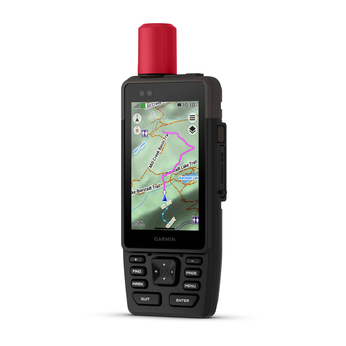
yes (TopoActive, routable)
|
| Ability to add maps |
|
| Basemap |
|
| Automatic routing (turn by turn routing on roads) for outdoor activities |
|
| Map segments |
yes (15,000) |
| Satellite Imagery |
yes (direct to device) |
| Includes detailed hydrographic features (coastlines, lake/river shorelines, wetlands and perennial and seasonal streams) |
|
| Includes searchable points of interests (parks, campgrounds, scenic lookouts and picnic sites) |
|
| Displays national, state and local parks, forests, and wilderness areas |
|
| External memory storage |
yes (1 TB max microSD card) |
| Waypoints |
|
| Courses |
unlimited |
| Activities |
unlimited |
| Activity profiles |
|
| GPX imports |
|
| Rinex logging |
|
Sensors
|
| GPS |
|
| Galileo |
|
| QZSS |
|
| BeiDou |
|
| IRNSS |
|
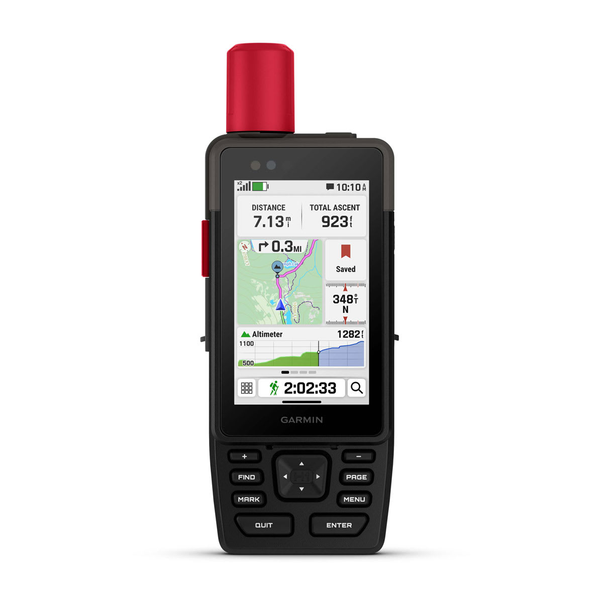
| Barometric altimeter |
|
| Compass |
|
| High-sensitivity receiver |
|
| GPS compass (while moving) |
|
| Multi-band frequency support |
|
Daily Smart Features
|
| Connect IQ™ (downloadable watch faces, data fields and apps) |
|
| Smart notifications on handheld |
|
| Weather forecasts |
|
| Weather |
|
| Compatible with Garmin Messenger app |
|
| Pairs with Garmin Connect™ Mobile |
|
| Voice command |
|
| Noise cancellation |
|
| Voice assistant |
|
| Voice notes |
|
| Garmin Share |
|
| Passcode |
|
| Next Word, Auto Complete, Auto Correct |
yes (Auto Correct, Next Word, Auto Complete) |
Safety and Tracking Features
|
| LiveTrack |
|
| Safety siren |
|
Tactical Features
|
| Compatible with AB Quantum – Garmin |
|
| Ballistics solver |
yes (unlock required) |
| Dual grid coordinates |
|
| Night vision mode |
|
Outdoor Recreation
|
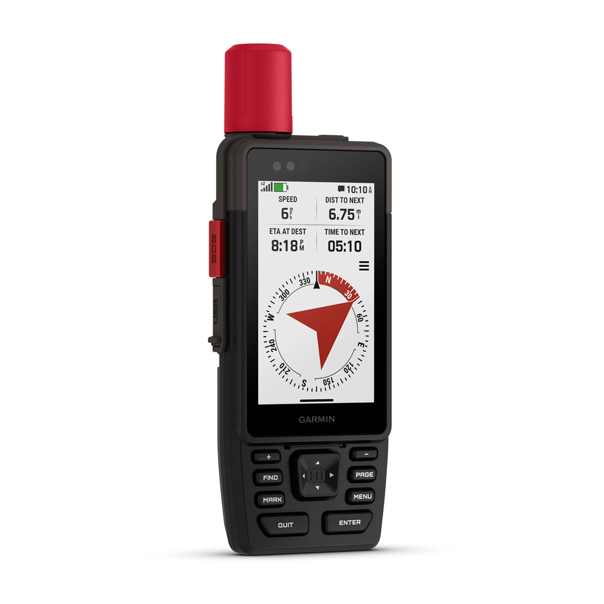
| Point-to-point navigation |
|
| Spoken turn-by-turn directions |
|
| TracBack® |
|
| Area calculation |
|
| Sun and moon information |
|
| Geocaching-friendly |
yes (Geocache Live) |
| Custom maps compatible |
yes (500 custom map tiles) |
| Picture viewer |
|
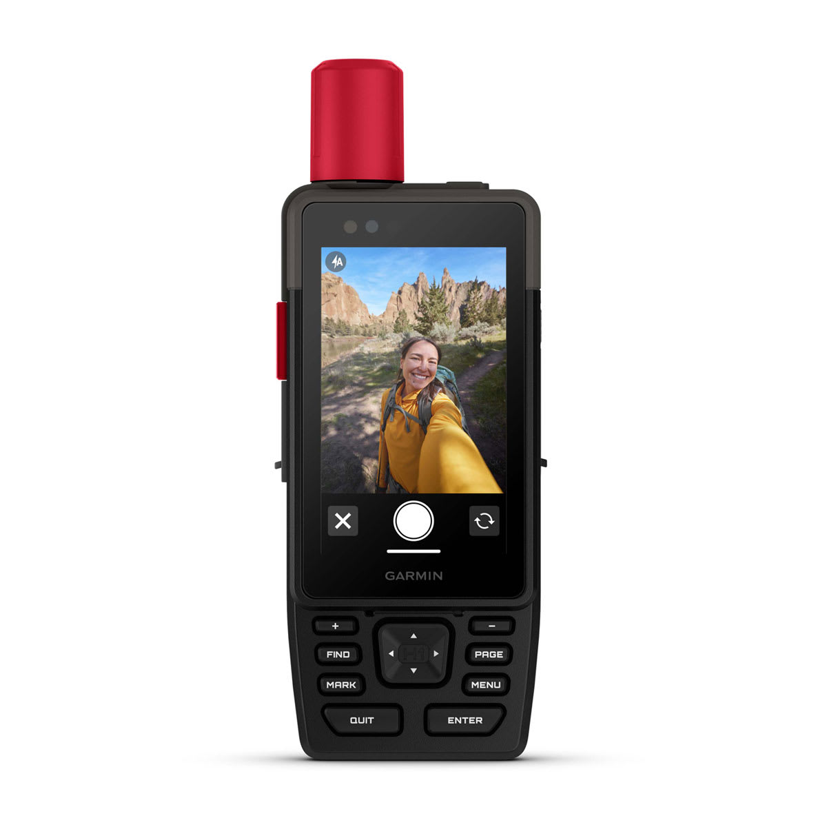
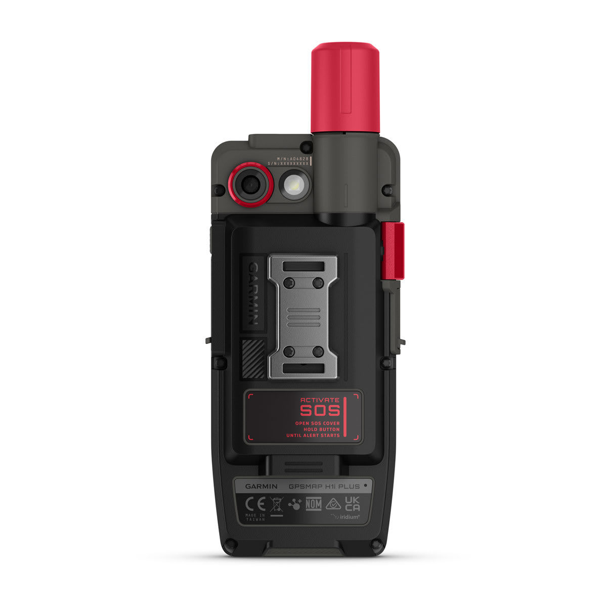
| Camera |
Front: 5 MP
Rear: 8 MP
|
| Flashlight |
|
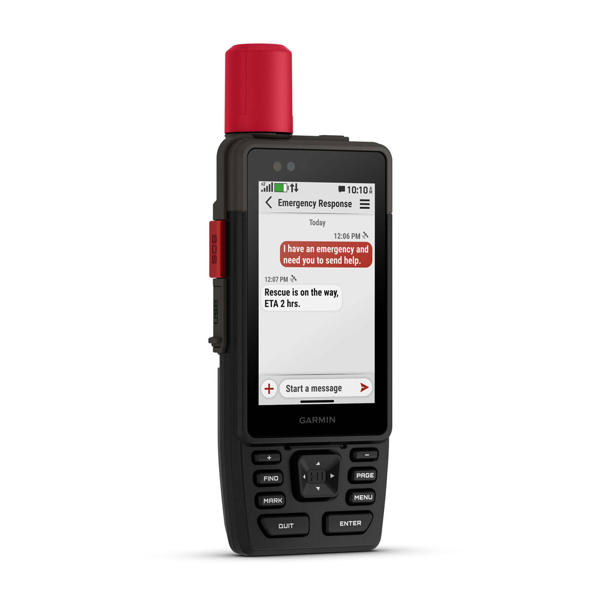
inReach® Features
|
| Interactive SOS |
|
| Weather |
|
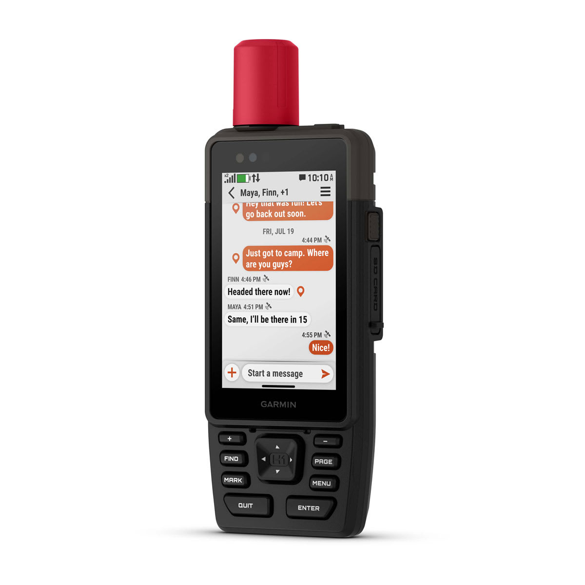
| Send and receive text messages to SMS and email |
|
| Send and receive text messages to other inReach device |
|
| Send and receive group messages |
|
| Send and receive photos |
|
| Send and receive voice messages |
|
| Send and receive 1,600 character messages |
|
| Exchange locations with other inReach device |
|
| LiveTrack |
|
| Virtual keyboard for custom messaging |
|
Outdoor Applications
|
| Compatible with Garmin Explore™ app |
|
| Garmin Explore website compatible |
|
| Smart switching between Wi-Fi, Cellular and Satellite with Garmin Messenger app |
|
| Dog tracking |
yes (when paired to compatible dog track system) |
Networking & Connections
|
| Wireless Connectivity |
yes (Wi-Fi®, BLE, ANT+®)
|