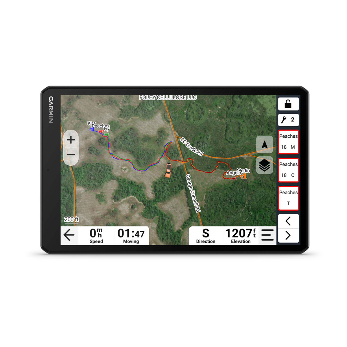
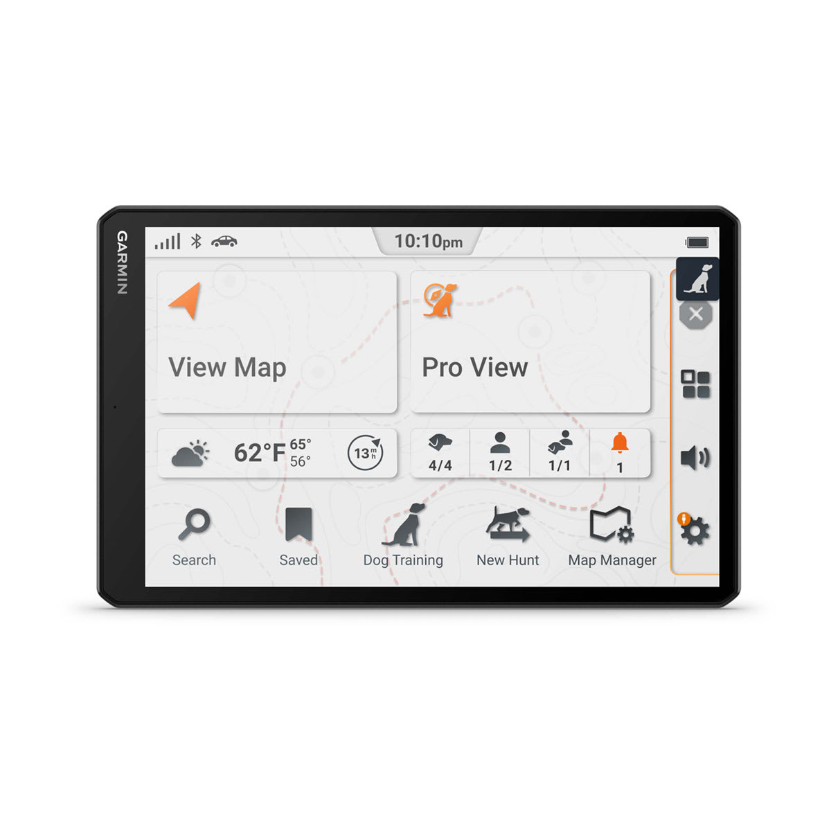
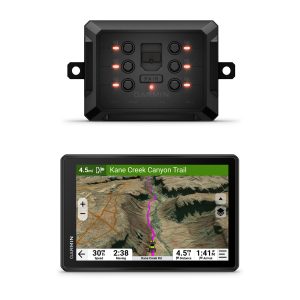
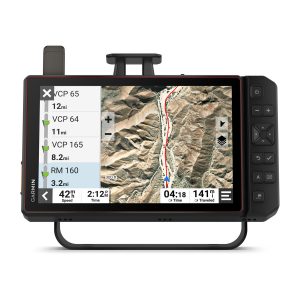
Alpha XL is a dog tracking GPS navigator with a high-resolution touchscreen, mapping, and pairs directly with your compatible Garmin dog collars & monitors 20 dogs up to 9 miles away.
General
|
| Dimension |
9.65″ W x 6.06″ H x 0.83″ D (24.5 x 15.4 x 2.1 cm) |
| Weight |
Total: 28.5 oz (806 g)
Head Unit: 19.5 oz (554 g)
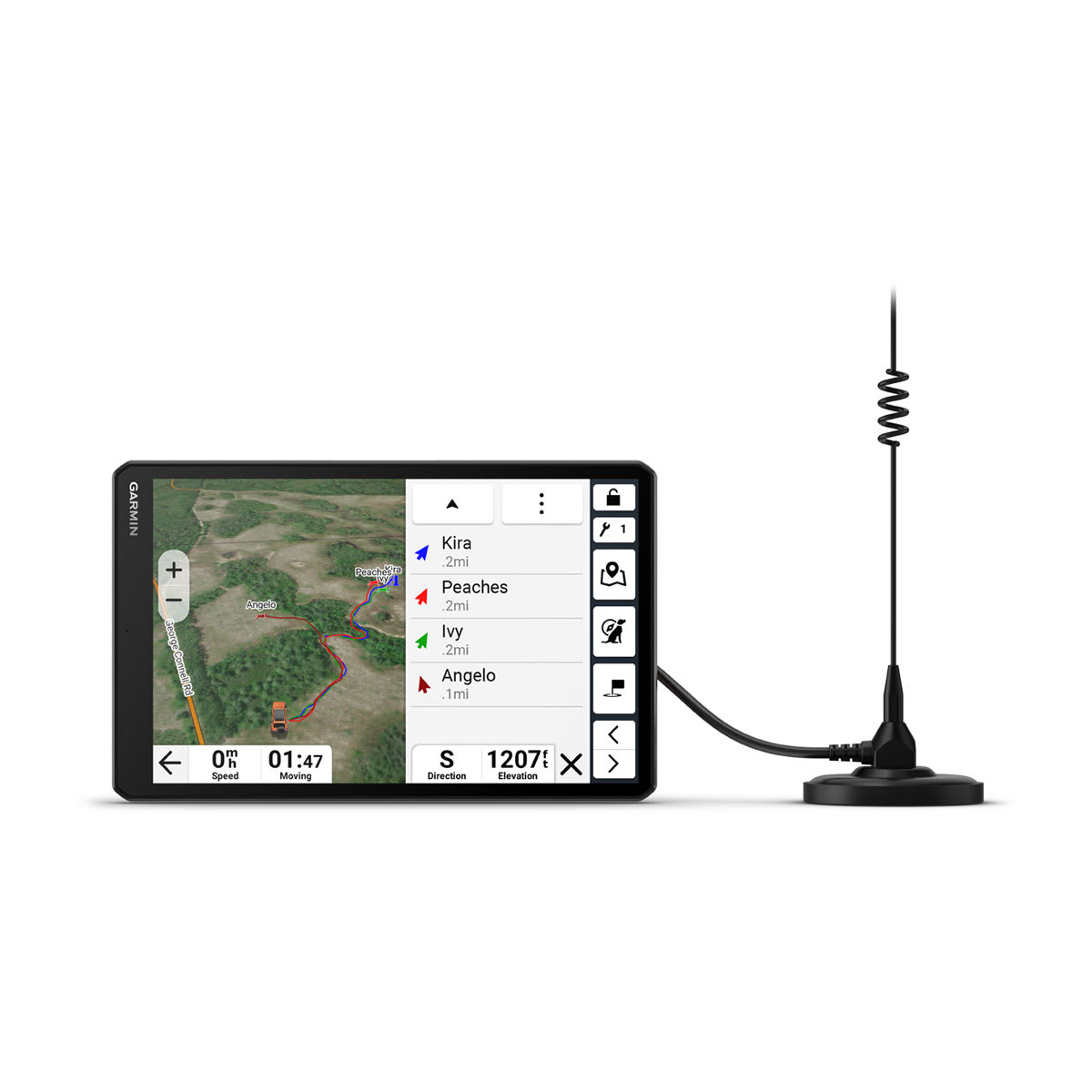
Radio Mount: 9 oz (252 g)
|
| Display Type |
10.1″ wide view IPS, color TFT, with on-lens capacitive touch panel |
| Display Size |
8.5″ W x 5.3″ H (21.6 x 13.5 cm); 10.1″ (25.7 cm) diagonal |
| Display resolution |
1280 x 800 pixels |
| Dual-orientation display |
|
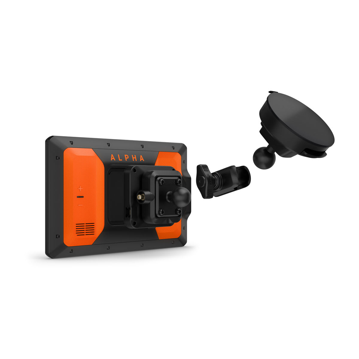
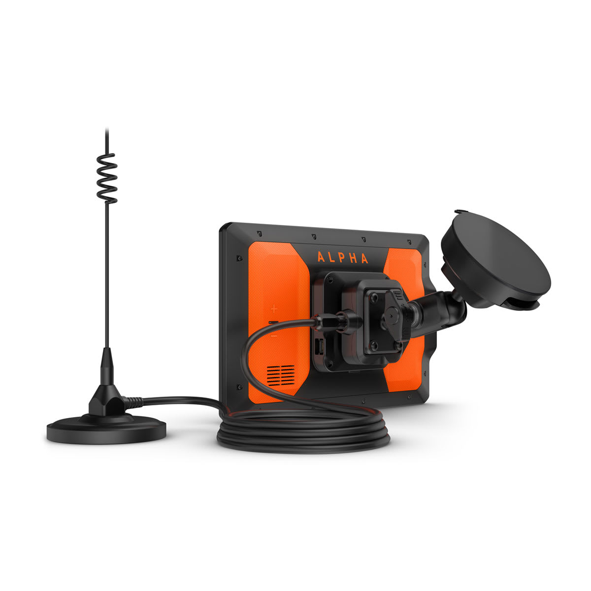
| Magnetic Mount |
|
| 1″ ball adapter with AMPS plate |
|
| Battery Type |
rechargeable lithium-ion |
| Battery life |
up to 2 hours
|
Maps & Memory
|
| Data cards |
microSD™ card (not included) |
| Preloaded street maps |
|
| High Definition 3D terrain |
yes (Outdoor Maps+ Subscription) |
| 3D Terrain |
yes (Outdoor Maps+ Subscription) |
| Internal storage |
64 GB |
| Ability to add maps |
yes (Outdoor Maps+ Subscription) |
| External memory storage |
microSD™ card (not included) |
| Includes map updates |
yes (Outdoor Maps+ Subscription) |
| Downloadable Satellite Imagery |
yes (Outdoor Maps+ Subscription) |
| TOPO map support |
yes (Outdoor Maps+ Subscription) |
| Downloadable USGS Quad Sheets |
yes (Outdoor Maps+ Subscription) |
Sensors
|
| GPS |
|
| Galileo |
|
| Barometric altimeter |
|
| Compass |
yes (when out of mount) |
| 10 Hz multi-GNSS positioning |
|
Outdoor Recreation
|
| Point-to-point navigation |
|
| Preloaded topographical maps |
|
| Preloaded US public land boundaries |
|
| Preloaded private land parcel maps |
yes (parcels greater than 4 acres) |
| Preloaded USFS Roads and Trails, including motor-vehicle-use-maps for motorcycle, ATV, SXS and full-size 4×4 |
|
| Navigate-a-track navigation |
|
| Turn-by-turn trail navigation |
|
| Compatible with Outdoor Maps+ Subscription |
|
Camera Features
|
| Backup camera compatible |
yes (BC 50) |
Navigation Features
|
| Garmin Real Directions™ landmark guidance |
|
| TripAdvisor® Traveler Ratings |
|
| Route shaping through preferred cities/streets |
|
| Includes traffic |
yes (with Alpha Mobile app) |
| Lane assist with junction view (displays junction signs) |
yes (with Alpha Mobile app) |
| Bluetooth® pairing |
|
| Speed limit indicator (displays speed limit for most major roads in the U.S. and Europe) |
|
| Driver alerts for sharp curves, school zones, red light and speed camera warnings and more |
|
Advanced Features
|
| Smart notifications via app |
|
| Wi-Fi® map and software updates |
|
| Access to live services via app (traffic, weather, etc.) |
|
Connectivity
|
| Smartphone platform compatibility |
iPhone®, Android™
|
| Works with Garmin app on a compatible smartphone |
yes (with Alpha Mobile app) |
| Range (via smartphone or other Bluetooth® source) |
30 ft (10 m) |
Motorcycle Features
|
| Garmin Adventurous Routing™ |
|
| Track support |
|
| Custom map support |
|
| Wireless ANT+® technology |
|
Adventure Features
|
| Pair with compatible inReach® devices |
|
| Track recorder (breadcrumbs) |
|
| iOverlander™ points of interest |
|
| Ultimate Public Campgrounds |
|
| Pitch and Roll gauges |
|
| Birdseye Satellite Imagery (download via Wi-Fi) |
|
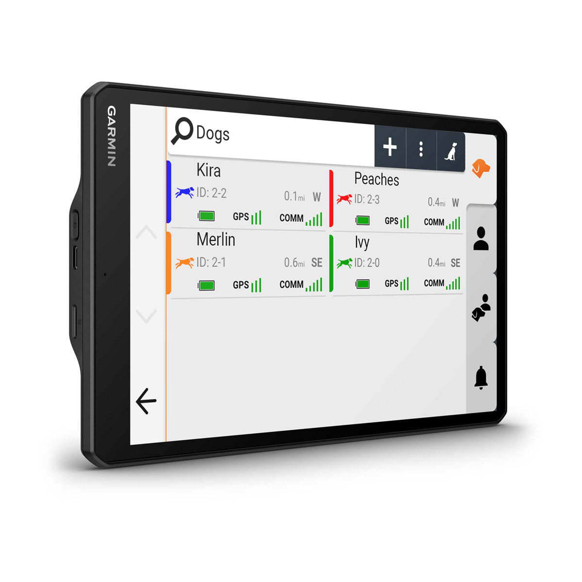
Dog Tracking Features
|
| Radio Frequency Band |
MURS (151-154 MHz) |
| Tracking/training range |
up to 9 miles |
| Tracks |
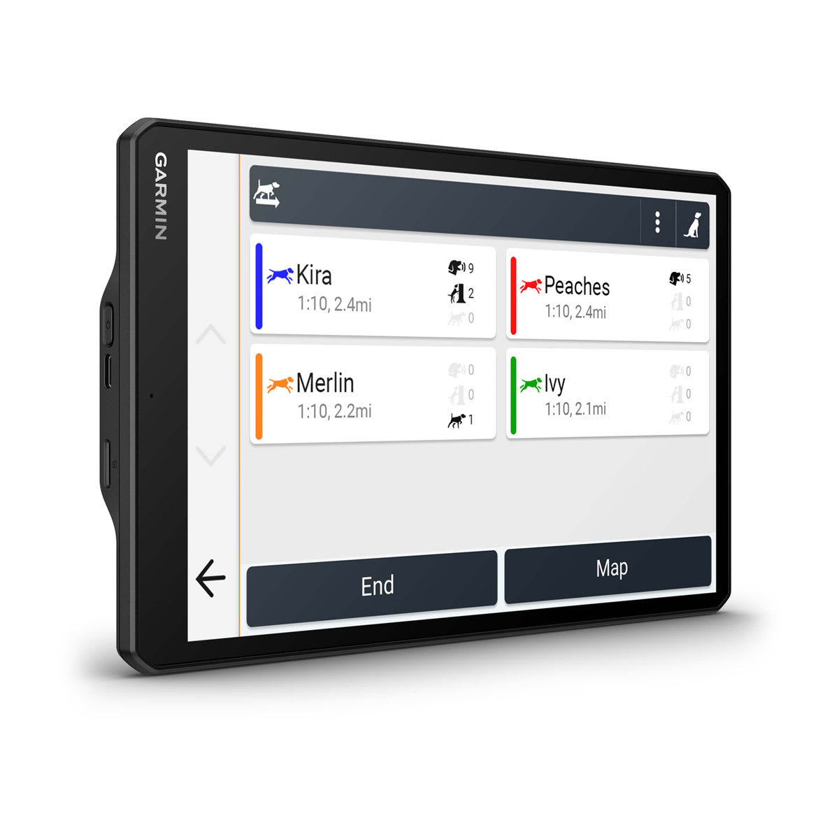
up to 20 assets (any combination of compatible dog devices and handhelds) |
| Update rate |
up to 2.5 sec |
| Dynamic update |
|
| Track log |
20,000 points |
| Stored contacts |
250 dogs |
| Group management |
|
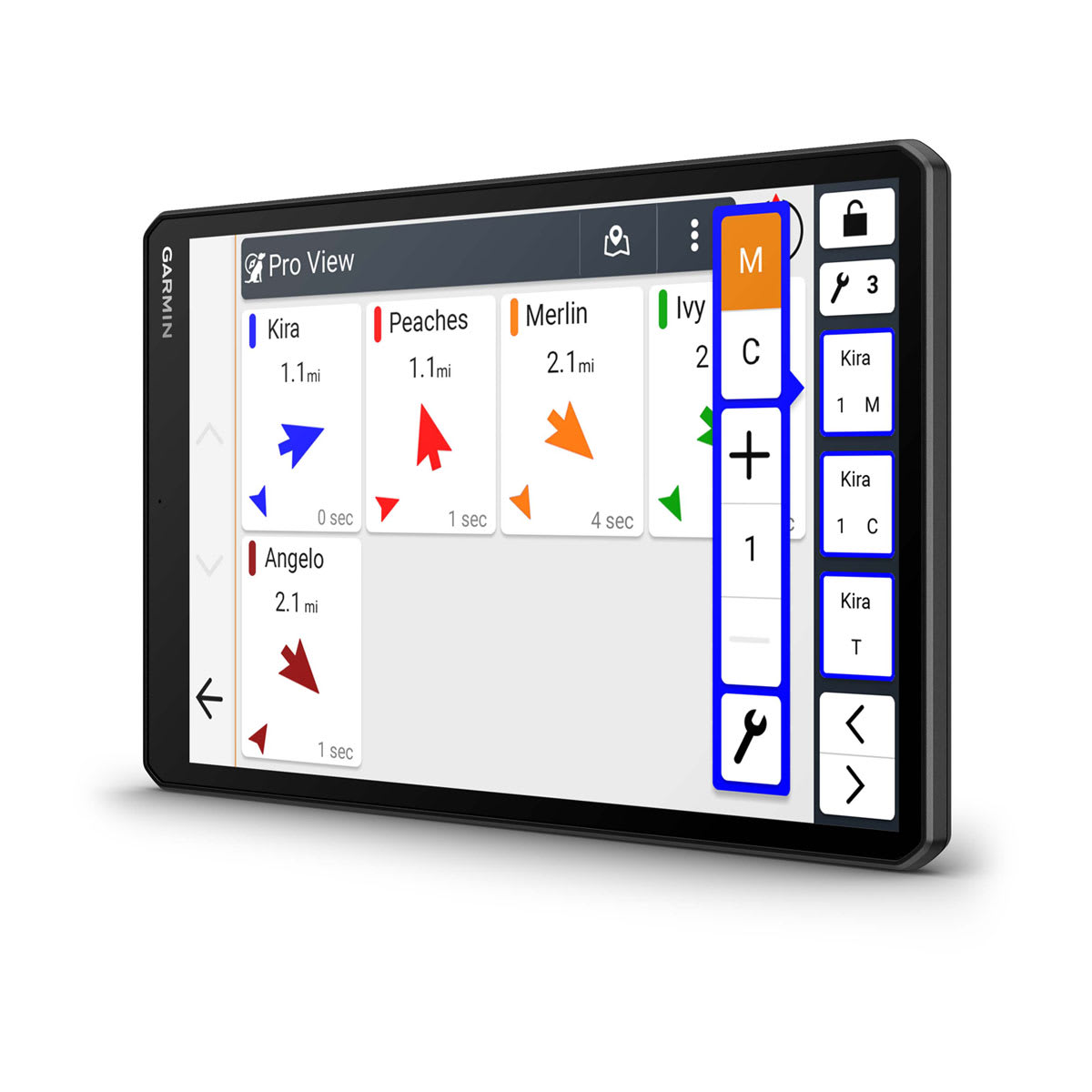
| PRO view compass |
|
| Channel view |
|
| Training features |
yes (stim, tone and vibration via touchscreen) |
| Hunt metrics |
|
Electrical Features
|
| Power Source |
12V in-vehicle socket |
Outdoor Applications
|
| Dog tracking |
|