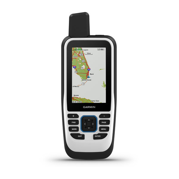
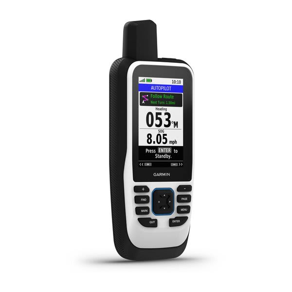
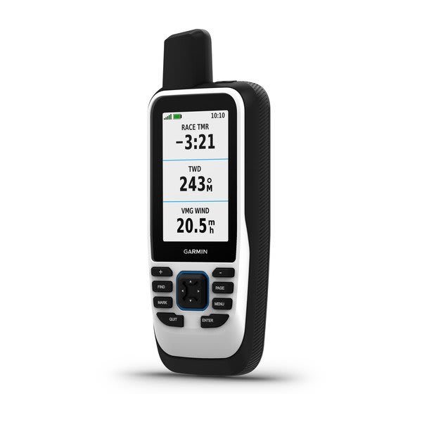
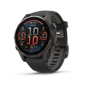
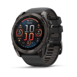
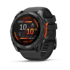
GPSMAP 86s is a handheld marine GPS with a preloaded Worldwide Basemap and the ability to stream boat data from compatible instruments.
General
|
| Lens Material |
chemically strengthened glass
|
| Dimension |
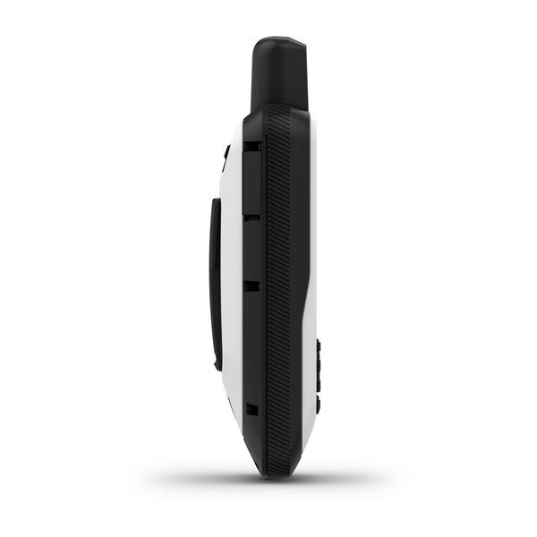
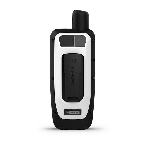
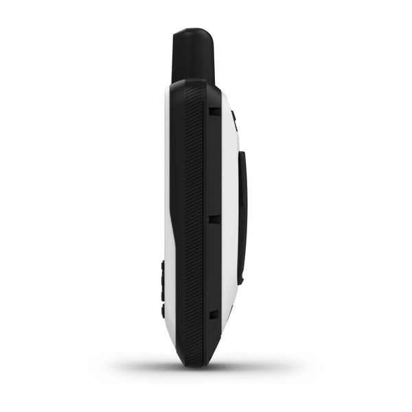
2.65″ x 7″ x 1.7″ (6.75w x 17.8h x 4.4d cm) |
| Weight |
9.59 oz (272 g)
|
| Water rating |
IPX7 |
| MIL-STD-810 |
yes (thermal, shock, water) |
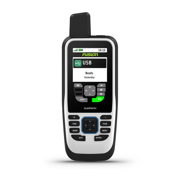
| Display Type |
transflective, 65K color TFT |
| Display Size |
1.5″W x 2.5″H (3.8 x 6.3 cm); 3″ diag (7.6 cm) |
| Display resolution |
240 x 400 pixels |
| Battery Type |
rechargeable, internal lithium-ion |
| Battery life |
up to 35 hours at 10-minute tracking; up to 200 hours at 30-minute tracking (power save mode)
|
| Memory/History |
16 GB (user space varies based on included mapping) |
| Interface |
high speed microUSB and NMEA 0183 compatible |
Maps & Memory
|
| Ability to add maps |
|
| Basemap |
|
| Map segments |
15,000 |
| Satellite Imagery |
yes (direct to device) |
| Includes searchable points of interests (parks, campgrounds, scenic lookouts and picnic sites) |
Yes (downloadable from Garmin Express™) |
| Displays national, state and local parks, forests, and wilderness areas |
Yes (downloadable from Garmin Express™) |
| External memory storage |
yes (32 GB max microSD™ card) |
| Waypoints/favorites/locations |
10,000 |
| Courses |
250, 200 course points per course |
| Tracks |
250 |
| Navigation Track Log |
20,000 points, 250 saved gpx tracks, 300 saved fit activities |
| Activities |
|
| Navigation Routes |
250, 250 points per route; 50 points auto routing |
| Rinex logging |
|
Sensors
|
| GPS |
|
| GLONASS |
|
| Galileo |
|
| Barometric altimeter |
|
| Compass |
Yes (tilt-compensated 3-axis) |
| High-sensitivity receiver |
|
| GPS compass (while moving) |
|
Daily Smart Features
|
| Connect IQ™ (downloadable watch faces, data fields and apps) |
|
| Smart notifications on handheld |
|
| Weather forecasts |
|
| Weather |
|
| VIRB® Remote |
|
| Pairs with Garmin Connect™ Mobile |
|
Safety and Tracking Features
|
| LiveTrack |
|
Tactical Features
|
| XERO™ Locations |
|
Outdoor Recreation
|
| Point-to-point navigation |
|
| TracBack® |
|
| Area calculation |
|
| Fish forecast |
|
| Sun and moon information |
|
| Geocaching-friendly |
yes (Geocache Live) |
| Custom maps compatible |
yes (500 custom map tiles) |
| Picture viewer |
|
| LED beacon flashlight |
|
inReach® Features
|
| inReach remote compatible |
|
Outdoor Applications
|
| Compatible with Garmin Explore™ app |
|
| Garmin Explore website compatible |
|
Networking & Connections
|
| Wireless Connectivity |
yes (Wi-Fi®, BLUETOOTH®, ANT+®)
|