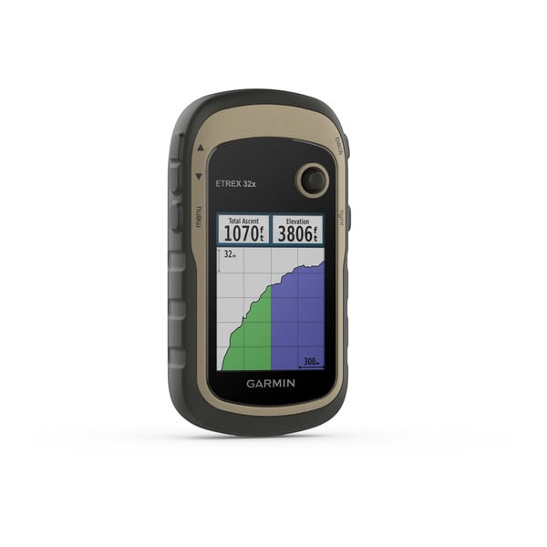
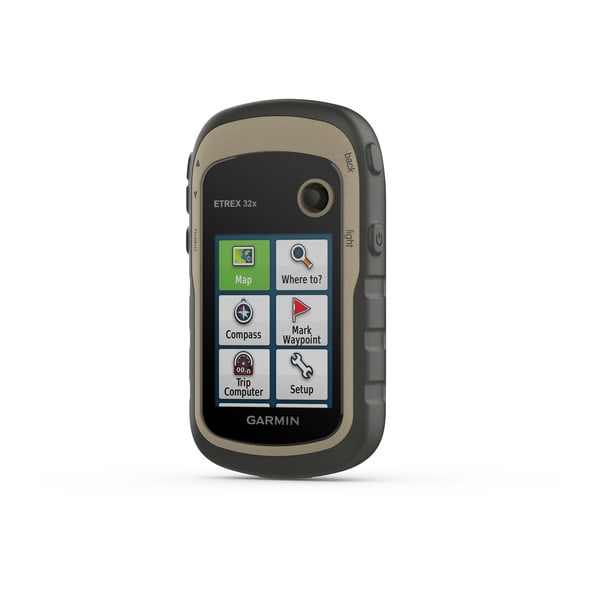
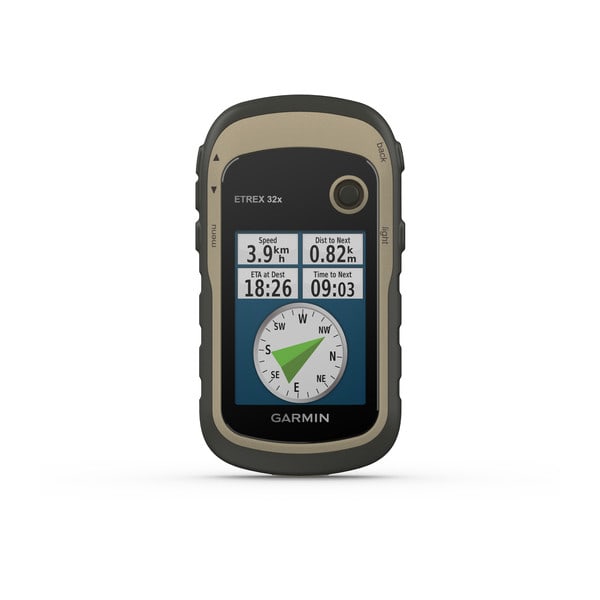
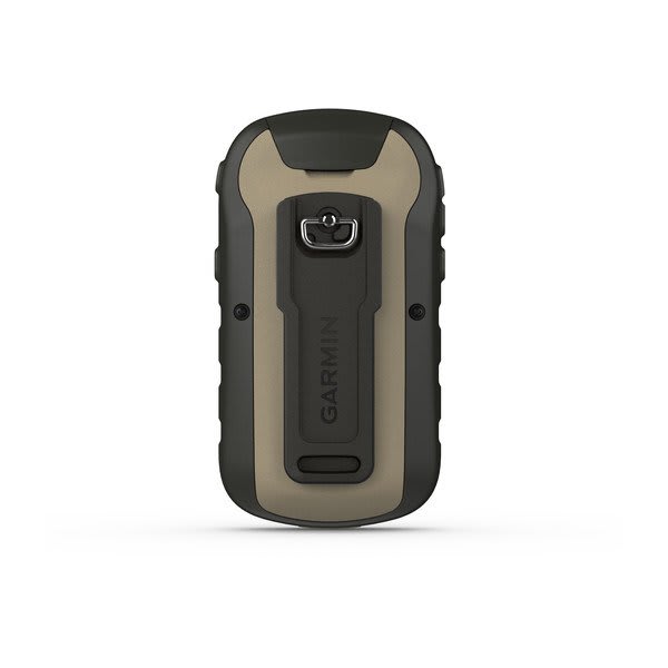
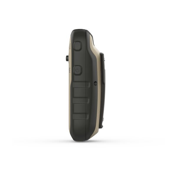
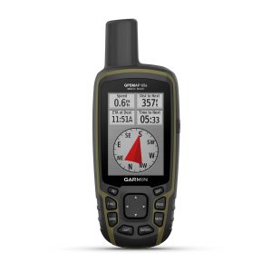
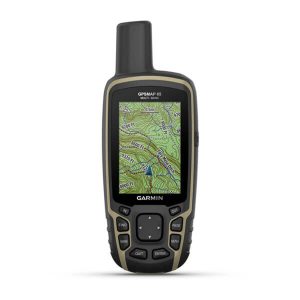
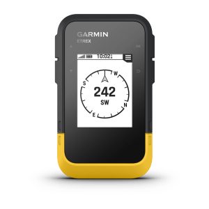
The eTrex® 32x is a hiking GPS with a 2.2” color display that features a compass, barometric altimeter, preloaded TopoActive maps and GPS/GLONASS support.
General
|
| Lens Material |
acrylic
|
| Dimension |
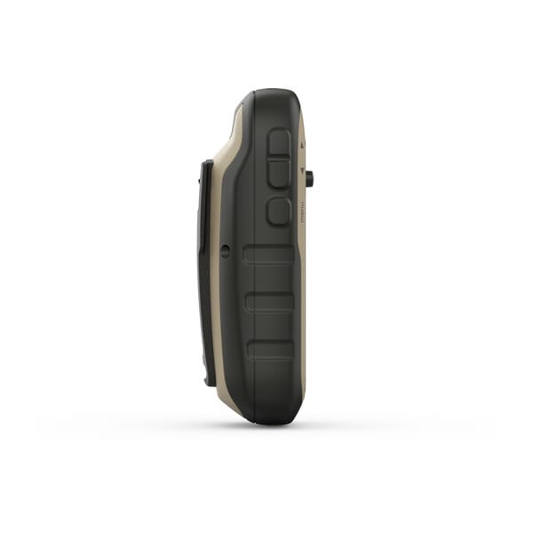
2.1″ x 4.0″ x 1.3″ (5.4 x 10.3 x 3.3 cm) |
| Weight |
5 oz (141.7 g) with batteries
|
| Water rating |
IPX7 |
| Display Type |
2.2″ transflective, 65K color TFT |
| Display Size |
1.4″ x 1.7″ (3.5 x 4.4 cm); 2.2″ diag (5.6 cm) |
| Display resolution |
240 x 320 pixels |
| Battery Type |
2 AA batteries (not included); NiMH or Lithium recommended |
| Battery life |
25 hours |
| Memory/History |
8 GB |
| Interface |
mini USB |
Maps & Memory
|
| Preloaded maps |
yes (TopoActive; routable)
|
| Ability to add maps |
Yes (via microSD card) |
| Basemap |
|
| Automatic routing (turn by turn routing on roads) for outdoor activities |
|
| Map segments |
3000 |
| Includes detailed hydrographic features (coastlines, lake/river shorelines, wetlands and perennial and seasonal streams) |
|
| Includes searchable points of interests (parks, campgrounds, scenic lookouts and picnic sites) |
|
| Displays national, state and local parks, forests, and wilderness areas |
|
| External memory storage |
yes (32 GB max microSD™ card) |
| Waypoints/favorites/locations |
2000 |
| Tracks |
200 |
| Navigation Track Log |
10000 points, 200 saved tracks |
| Navigation Routes |
200 routes, 250 points per route; 50 points auto routing |
Sensors
|
| GPS |
|
| GLONASS |
|
| Barometric altimeter |
|
| Compass |
Yes (tilt-compensated 3-axis) |
| High-sensitivity receiver |
|
| GPS compass (while moving) |
|
Daily Smart Features
|
| VIRB® Remote |
|
Outdoor Recreation
|
| Point-to-point navigation |
|
| Area calculation |
|
| Fish forecast |
|
| Sun and moon information |
|
| Geocaching-friendly |
Yes (Paperless) |
| Custom maps compatible |
yes (100 custom map tiles) |
| Picture viewer |
|
Networking & Connections
|
| Wireless Connectivity |
yes (ANT+®)
|