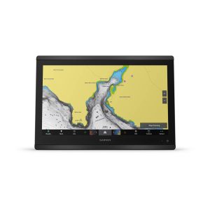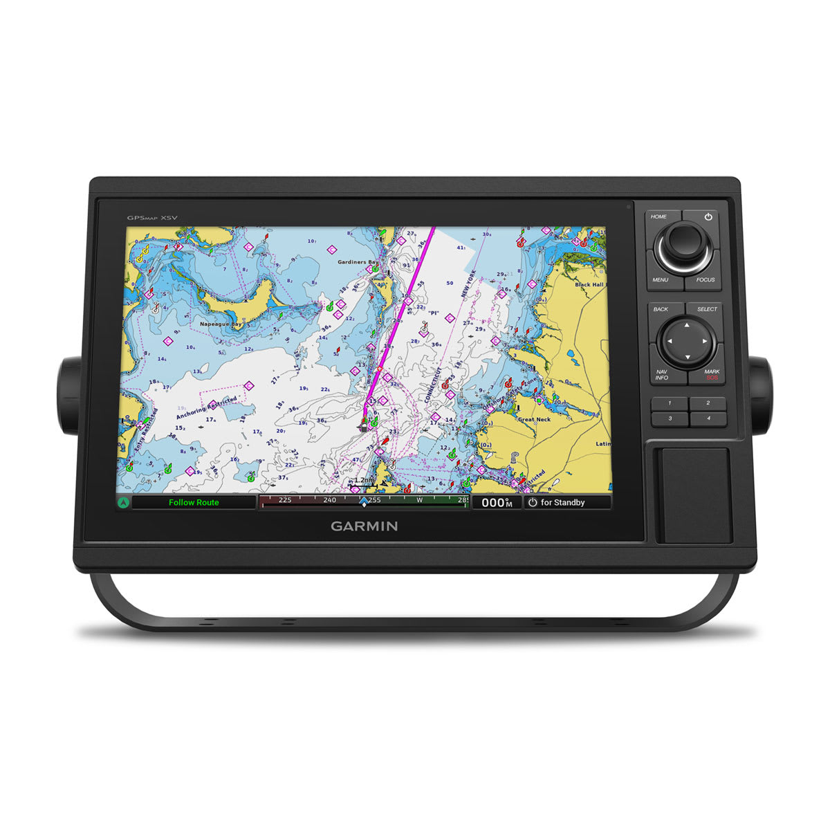

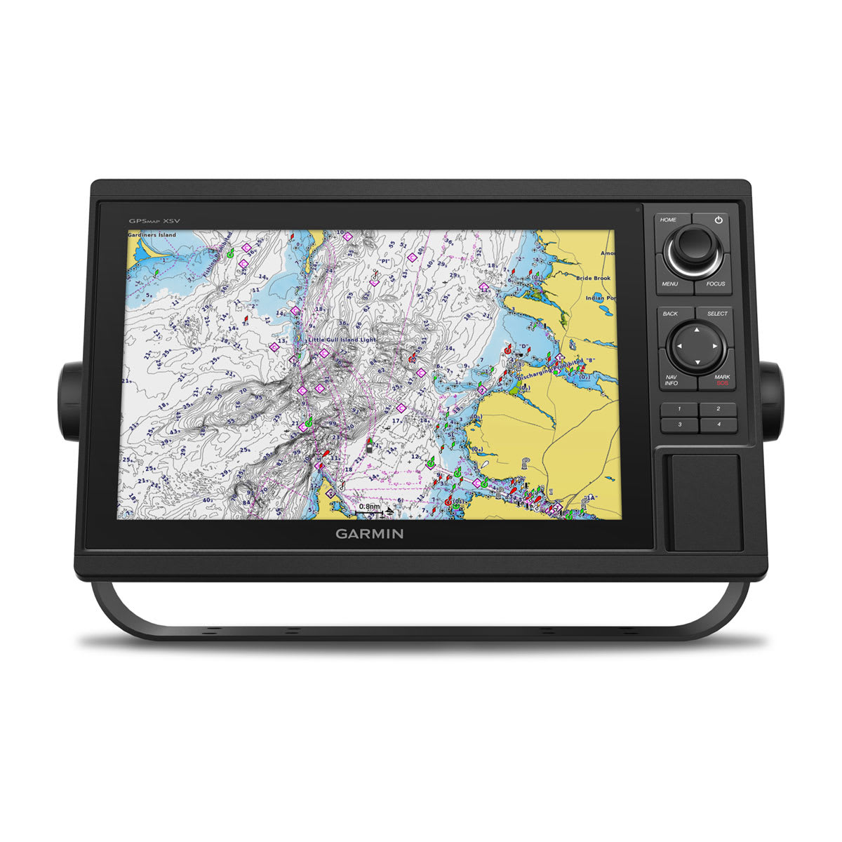
GPSMAP® 1222 is a chartplotter w/ a 12” color display with an internal GPS and GLONASS receiver.
General |
|
| Dimension | 14.1″ x 8.9″ x 2.7″ (35.8 x 22.6 x 6.9 cm) |
|---|---|
| Weight |
5.2 lbs (2.34 kg) |
| Water rating |
IPX7 |
| Display Type | WXGA, NP |
| Display Size | 10.3″ x 6.4″; 12.1″ diagonal (26.2 x 16.3 cm; 30.7 cm diagonal) |
| Display resolution | 1280 x 800 pixels |
| Mounting Options | Bail or flush |
| Input | Keyed |
Maps & Memory |
|
| Accepts Data Cards |
2 SD™ cards |
|---|---|
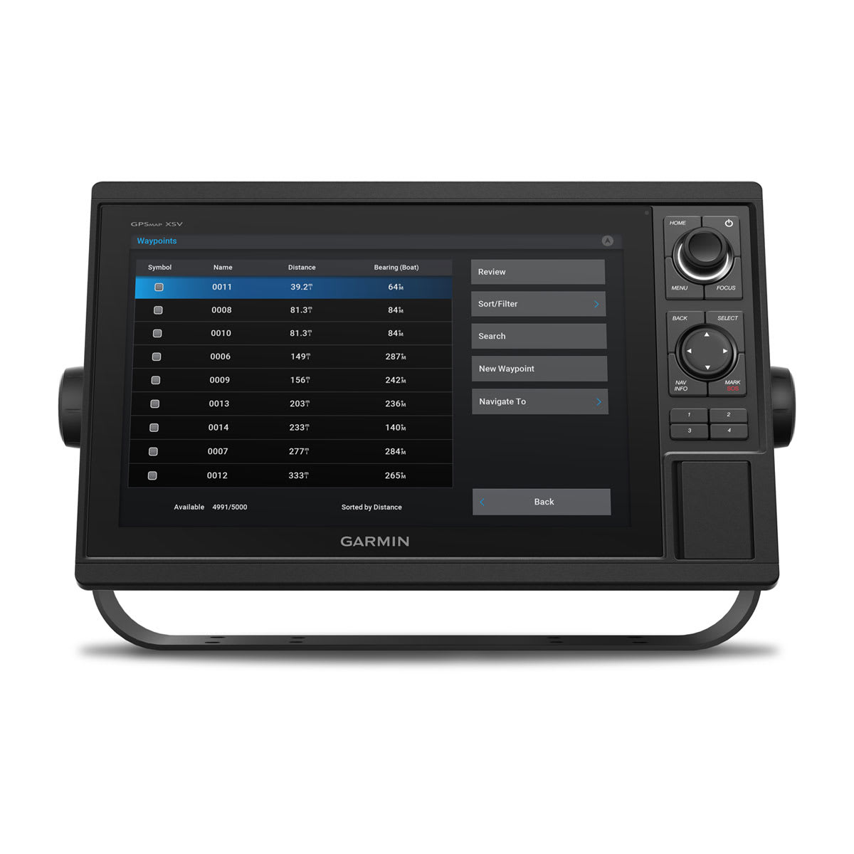
| Waypoints |
5000 |
| Track points | 50,000 |
| Tracks | 50 saved tracks |
| Navigation Routes | 100 |
Sensors |
|
| GPS | |
|---|---|
| GLONASS | |
| Has built-in receiver | |
| Receiver |
10 Hz |
| NMEA 2000 Compatible | |
| NMEA 0183 Compatible | |
| Supports WAAS | |
Built-in Maps |
|
| Tide tables | |
|---|---|
Optional Map Support |
|
| BlueChart g3 | |
|---|---|
| BlueChart g3 Vision | |
| LakeVü g3 | |
| LakeVü g3 Ultra | |
| Garmin Navionics+™ | |
| Garmin Navionics Vision+™ | |
| TOPO 100K | |
| Standard Mapping | |
| Garmin Quickdraw Contours | |
| Raster chart support | |
Chartplotter Features |
|
| Smart Mode Compatible | |
|---|---|
| AIS | |
| DSC | |
| Supports Fusion-Link™ compatible radios | |
| GSD Black Box Sonar Support | |
| GCV Black Box Sonar Support | |
| ActiveCaptain® compatible |
yes |
| GRID (Garmin Remote Input Device) compatible | |
| Wireless Remote Compatible | |
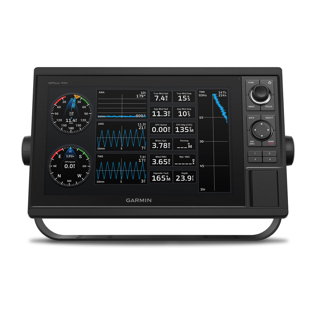
| Sailing Features | |
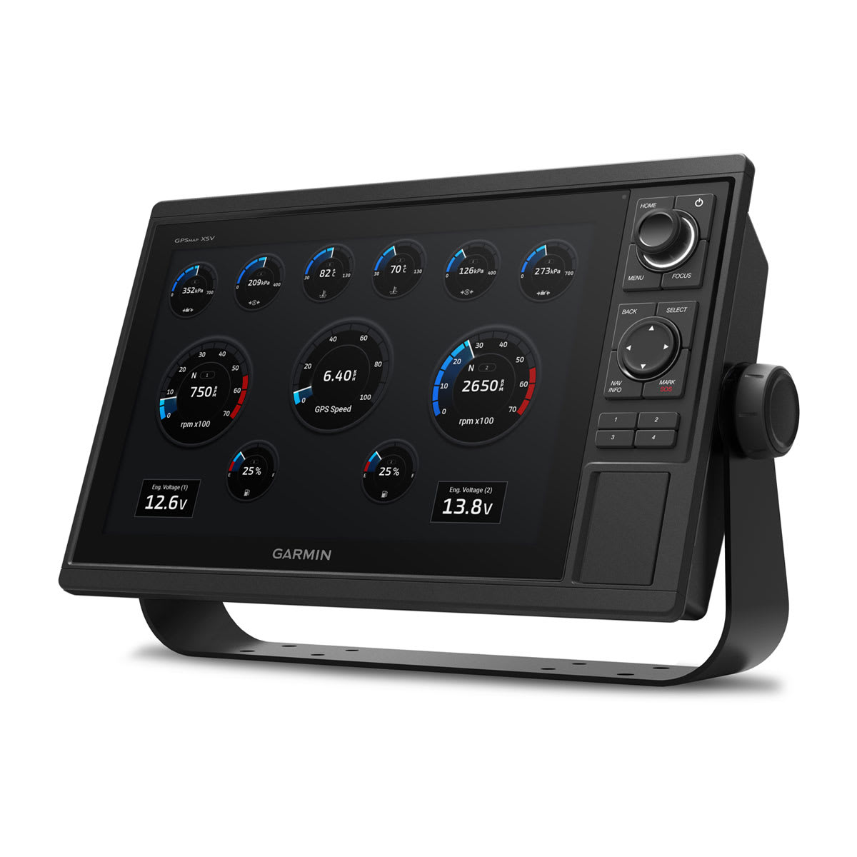
Electrical Features |
|
| Power Input | 10 to 32 Vdc |
|---|---|
| Typical current draw at 12 Vdc | 2.2 A |
| Maximum current draw at 12 Vdc | 2.9 A |
| Maximum power usage at 10 Vdc | 34.8W |
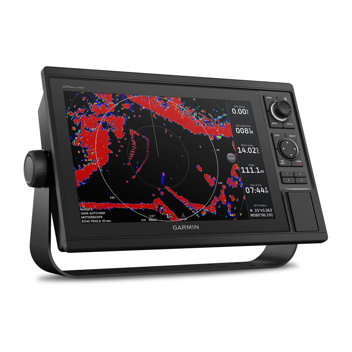
Sonar Features |
|
| Displays sonar | |
|---|---|
| Traditional sonar (dual frequency/beam) | Yes (with external black box, sold separately) |
| ClearVü | Yes (with external black box, sold separately) |
| SideVü | Yes (with external black box, sold separately) |
| Panoptix™ sonar | |
| LiveScope | |
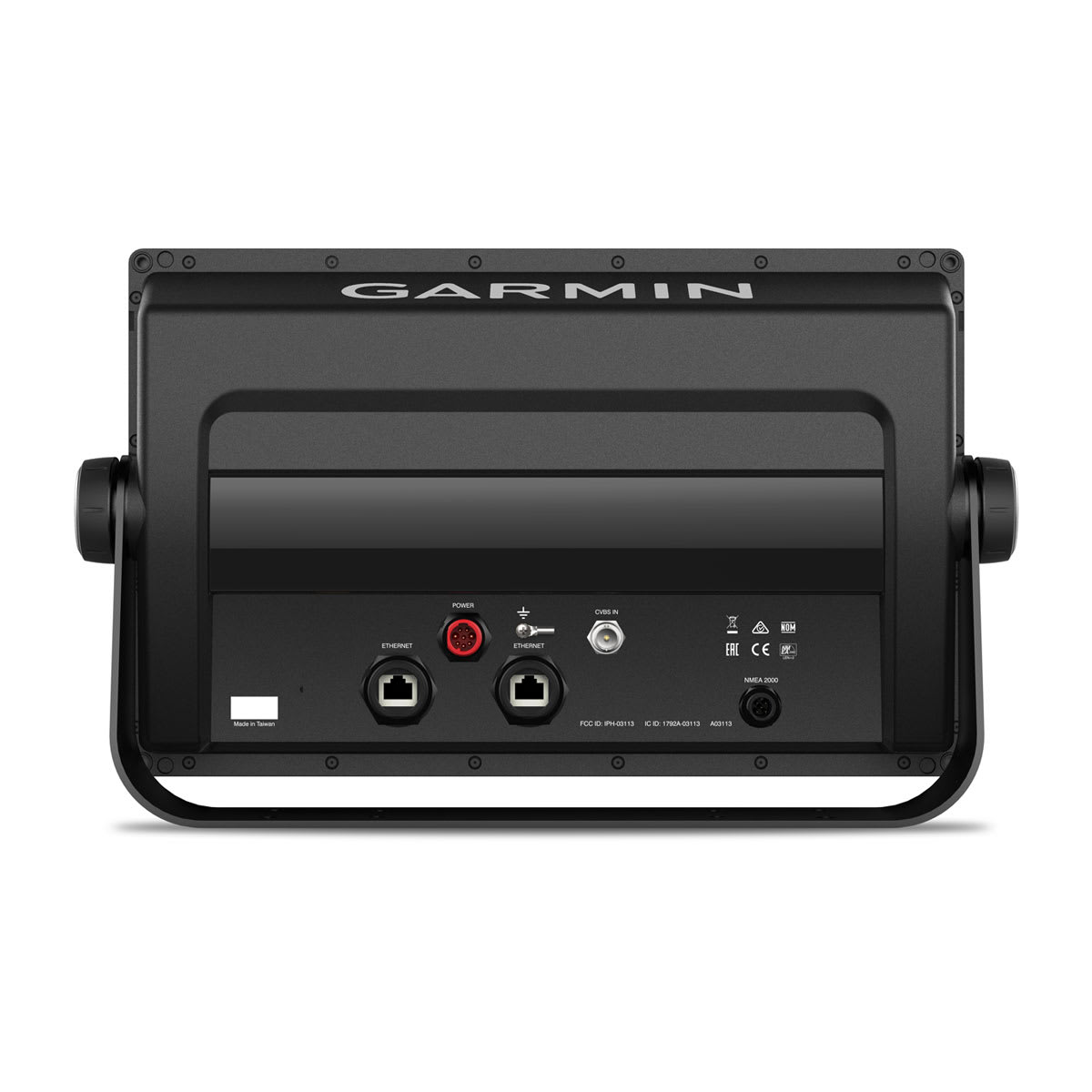
Networking & Connections |
|
| NMEA 2000® ports | 1 |
|---|---|
| NMEA 0183 Input (Rx) Ports |
1 |
| NMEA 0183 output (Tx) ports | 1 |
| Video input ports |
1 (BNC composite) |
| Garmin Marine Network Ports |
2 |
| Bluetooth® pairing | |
| ANT® (Connectivity) | |
| Garmin Wi-Fi network (local connection) | |