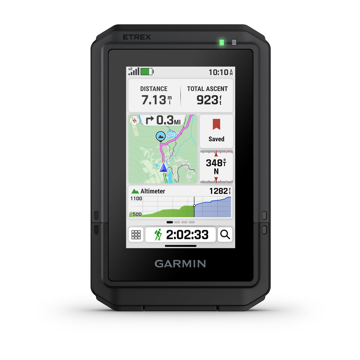
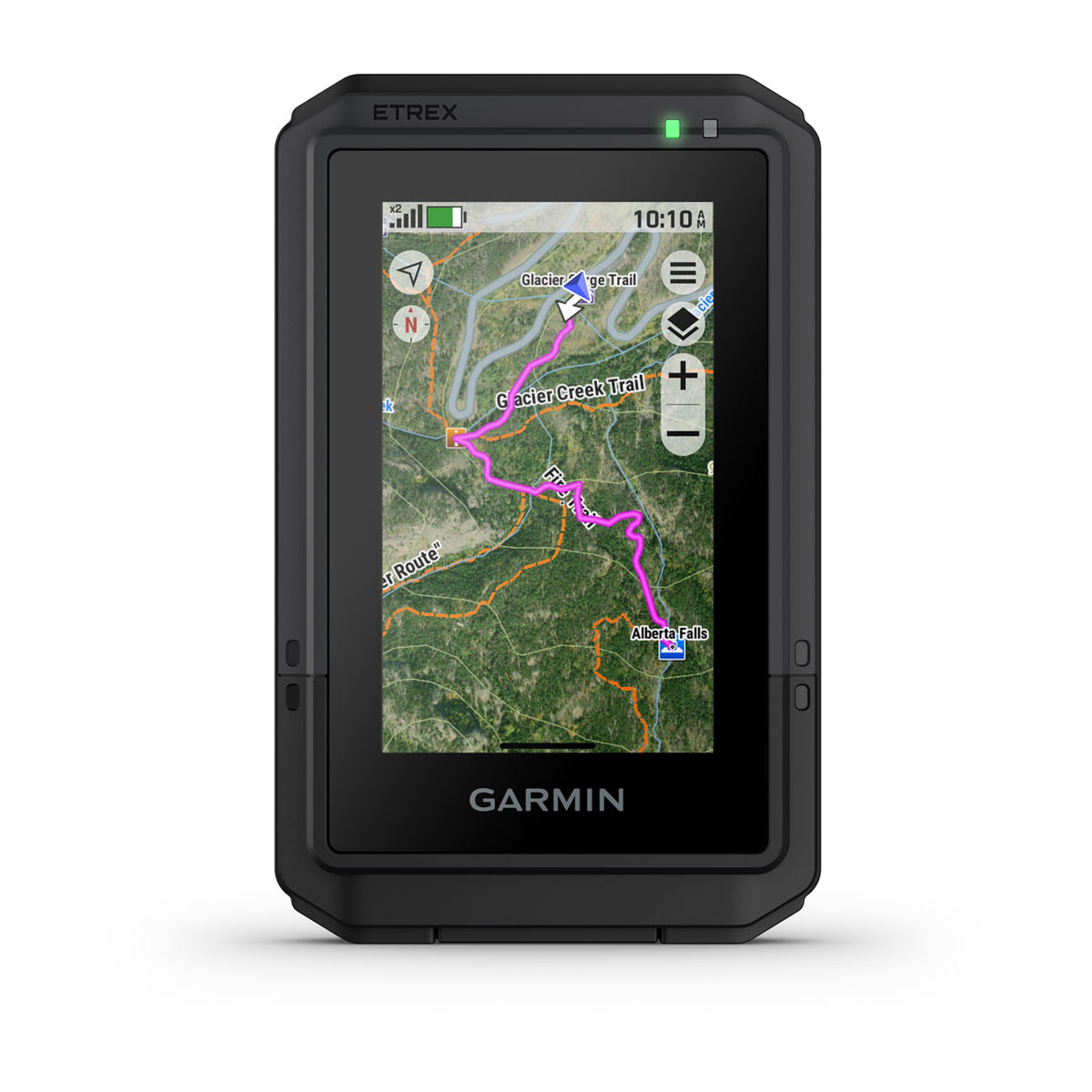
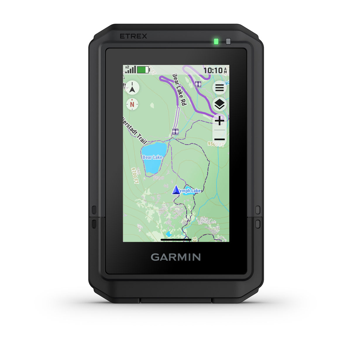
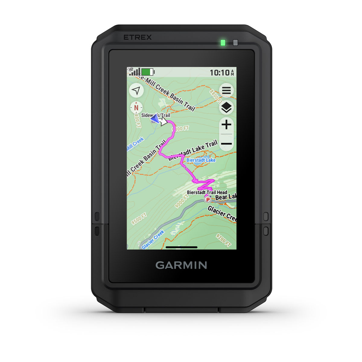
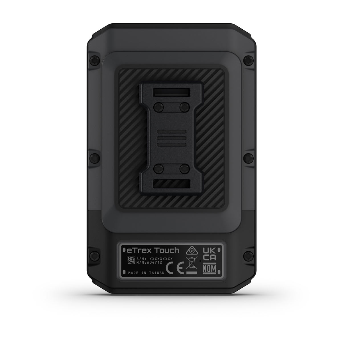
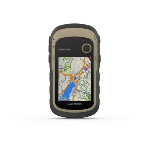
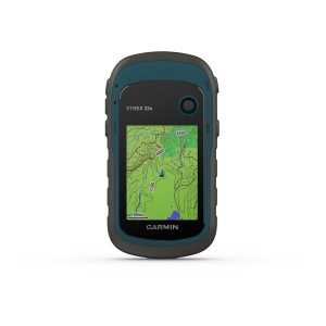
eTrex® Touch is a rugged, easy-to-use GPS handheld navigator with color touchscreen, preloaded maps for trails and roads and a long battery life.
General
|
| Lens Material |
chemically strengthened glass |
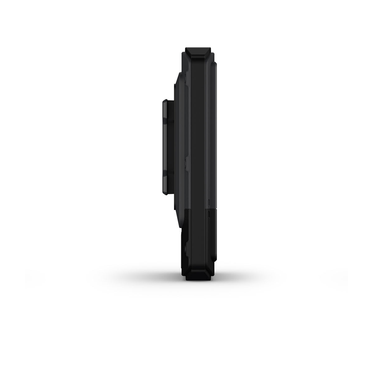
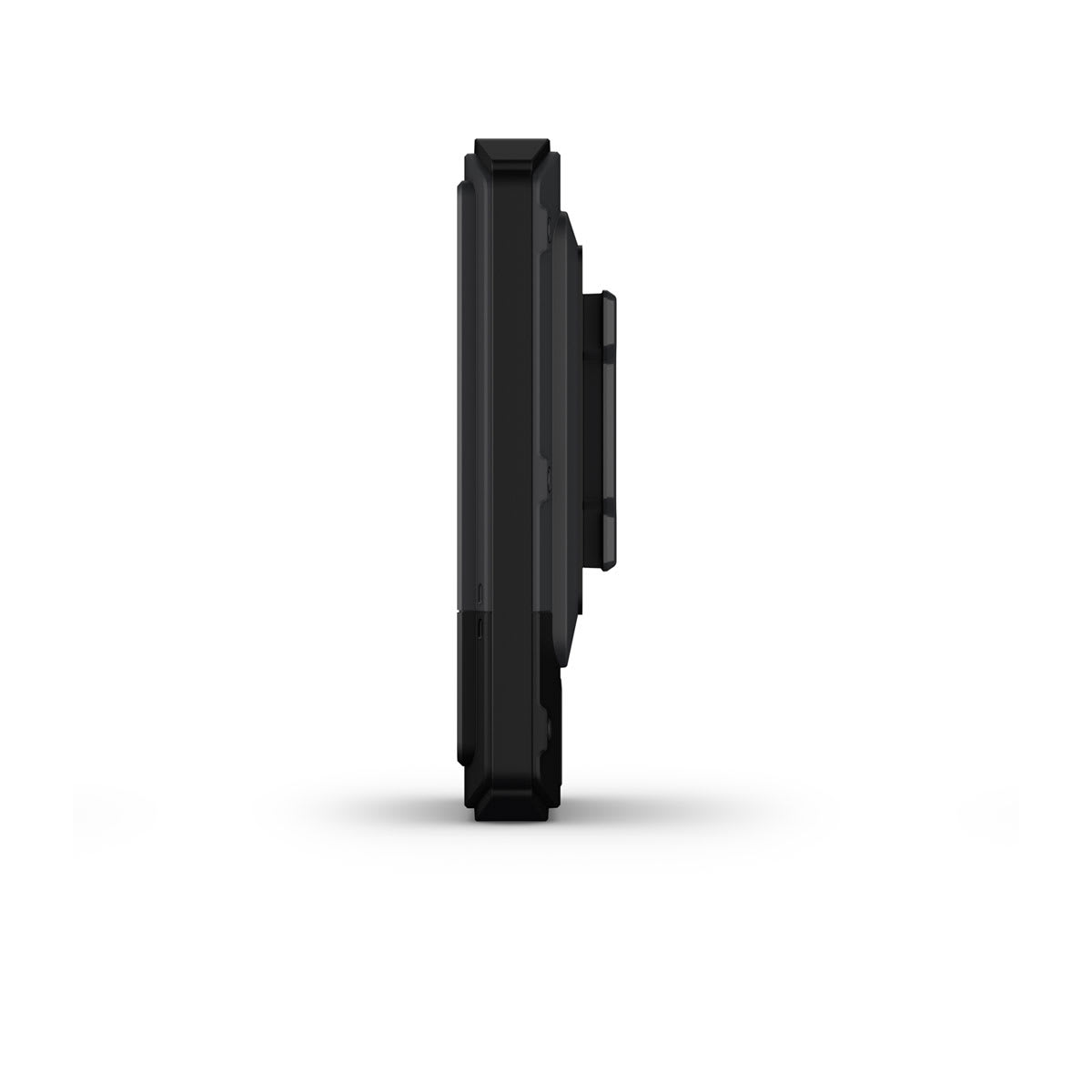
| Dimension |
2.6″ x 4.15″ x 0.97″ (66 mm x 105.4 mm x 24.6 mm) |
| Weight |
5.3 oz (150 g)
|
| Water rating |
IP67 |
| Touchscreen |
|
| Display Type |
3″ transflective Color TFT |
| Display Size |
1.53″ x 2.55″ (3.88 cm x 6.48 cm); 3″ diag (7.62 cm) |
| Display resolution |
240 x 400 pixels |
| Battery Type |
rechargeable, internal lithium-ion |
| Battery life |
All Satellite Systems + Multi band: Up to 130 hours*
Expedition Mode: Up to 650 hours
*Assuming typical use with SatIQ technology
|
| Memory/History |
32 GB (user space varies based on included mapping) |
| Interface |
USB-C |
Maps & Memory
|
| Preloaded maps |
yes (TopoActive, routable)
|
| Ability to add maps |
|
| Basemap |
|
| Automatic routing (turn by turn routing on roads) for outdoor activities |
|
| Map segments |
yes (15,000) |
| Satellite Imagery |
yes (via Outdoor Maps+ subscription) |
| Includes detailed hydrographic features (coastlines, lake/river shorelines, wetlands and perennial and seasonal streams) |
|
| Includes searchable points of interests (parks, campgrounds, scenic lookouts and picnic sites) |
|
| Displays national, state and local parks, forests, and wilderness areas |
|
| Waypoints |
|
| Courses |
unlimited |
| Activities |
unlimited |
| Activity profiles |
|
| GPX imports |
|
Sensors
|
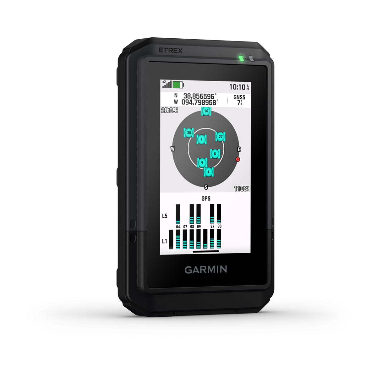
| GPS |
|
| GLONASS |
|
| Galileo |
|
| QZSS |
|
| BeiDou |
|
| IRNSS |
|
| Barometric altimeter |
|
| Compass |
|
| High-sensitivity receiver |
|
| GPS compass (while moving) |
|
| Multi-band frequency support |
|
Daily Smart Features
|
| Connect IQ™ (downloadable watch faces, data fields and apps) |
|
| Smart notifications on handheld |
|
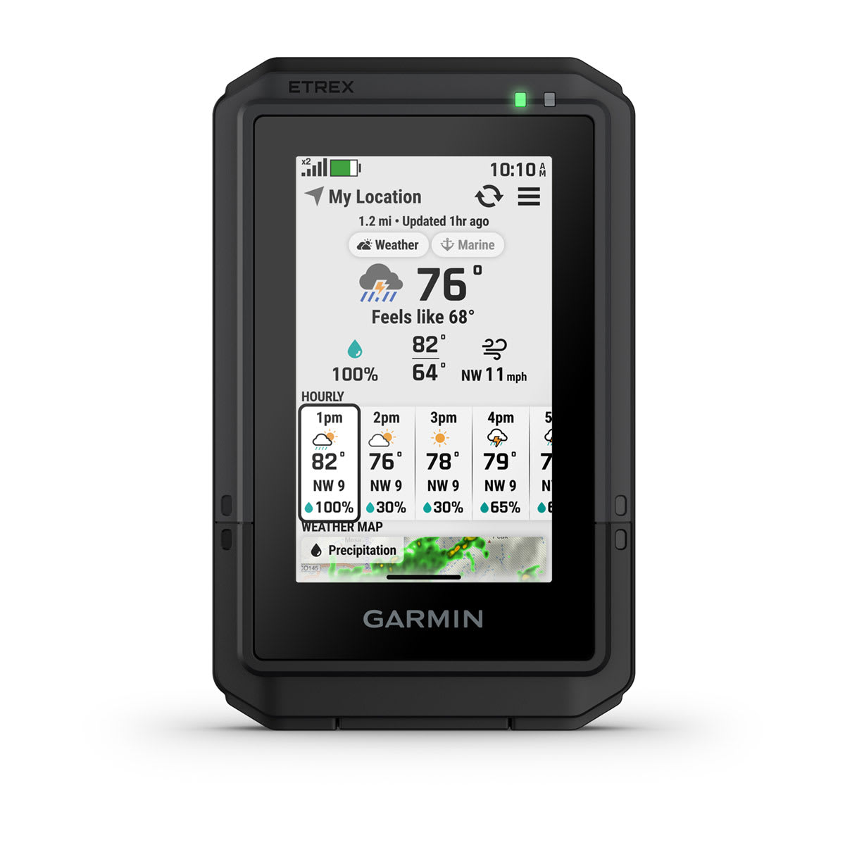
| Weather forecasts |
|
| Weather |
|
| Pairs with Garmin Connect™ Mobile |
|
| Garmin Share |
|
| Passcode |
|
| Next Word, Auto Complete, Auto Correct |
yes (Auto Correct, Next Word, Auto Complete) |
Safety and Tracking Features
|
| LiveTrack |
|
Tactical Features
|
| Compatible with AB Quantum – Garmin |
|
| Ballistics solver |
yes (unlock required) |
| Dual grid coordinates |
|
| Night vision mode |
|
Outdoor Recreation
|
| Point-to-point navigation |
|
| TracBack® |
|
| Area calculation |
|
| Sun and moon information |
|
| Geocaching-friendly |
yes (Geocache Live) |
| Custom maps compatible |
yes (500 custom map tiles) |
| Picture viewer |
|
Outdoor Applications
|
| Compatible with Garmin Explore™ app |
|
| Garmin Explore website compatible |
|
Networking & Connections
|
| Wireless Connectivity |
yes (Wi-Fi®, BLE, ANT®)
|