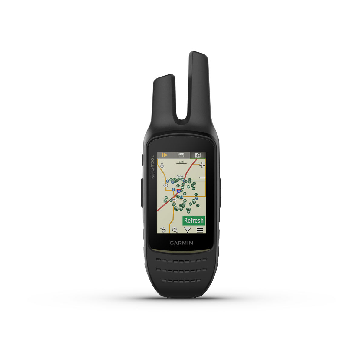
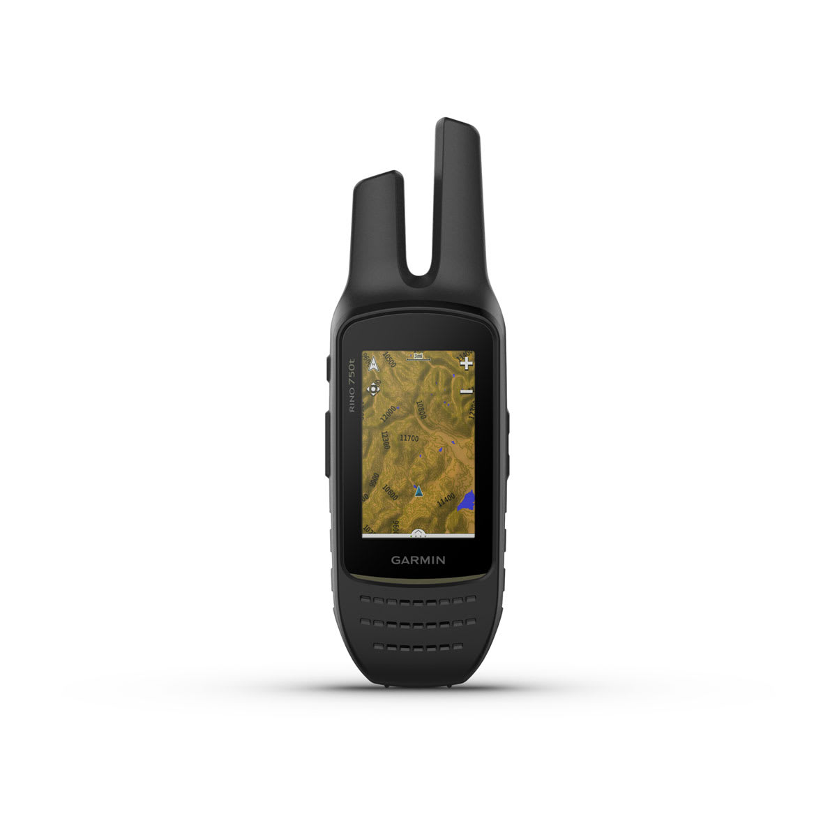
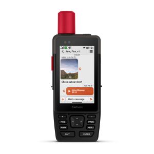
Rino 750t is handheld 2-way radio with voice and text communication, 18 hrs. of battery life, and an extended range of up to 20 miles.
General
|
| Dimension |
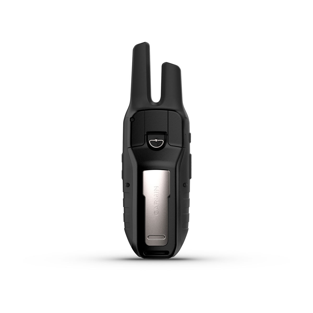
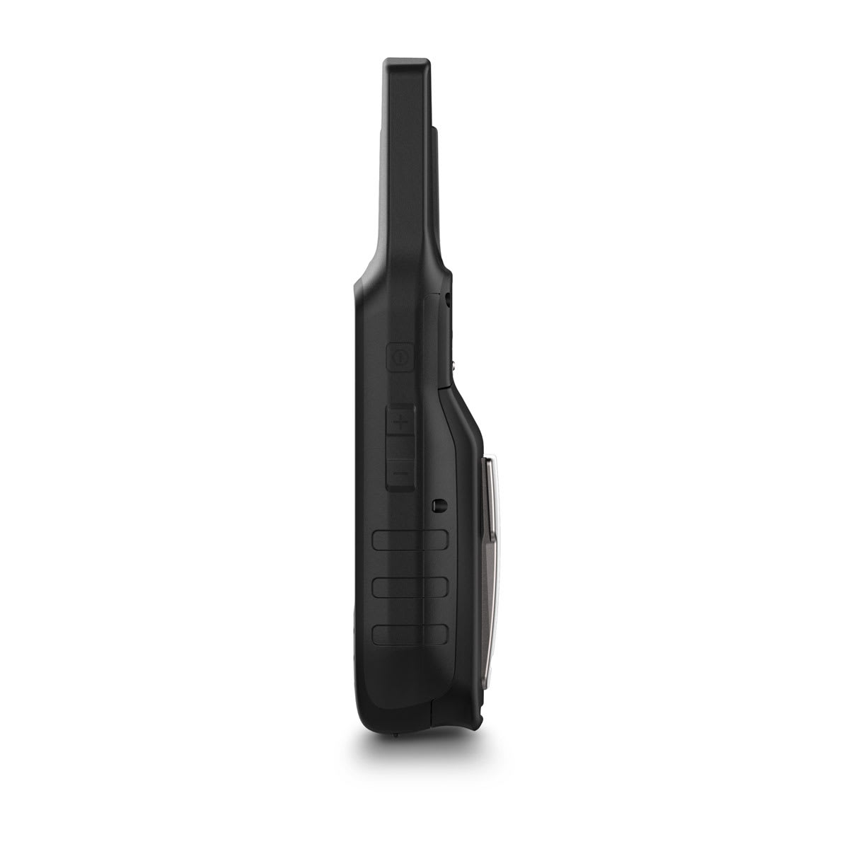
2.6” x 7.9” x 1.6” (6.6 x 20.1 x 4.1 cm) |
| Weight |
12.3 oz (348 g) with battery pack
|
| Water rating |
IPX7 |
| Touchscreen |
|
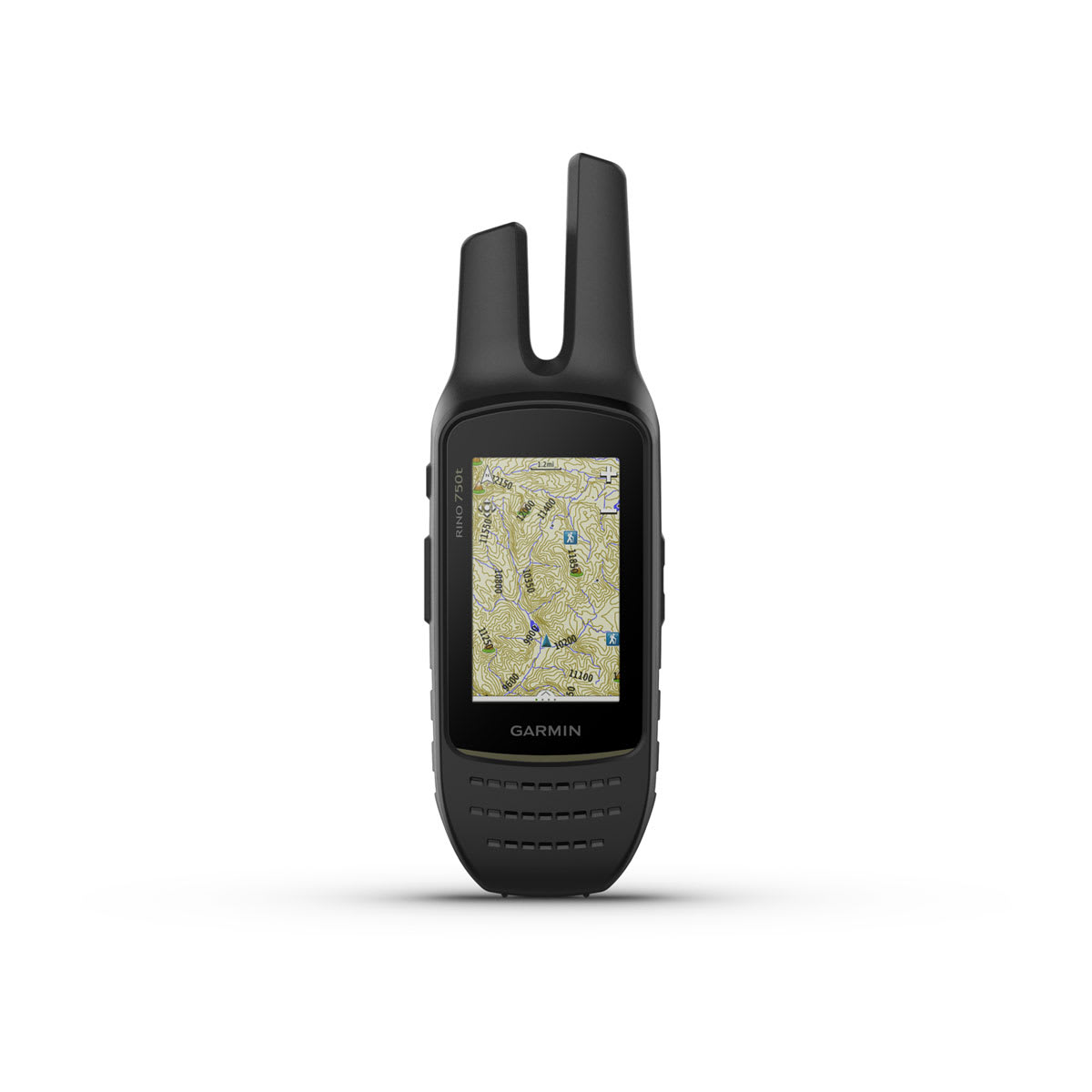
| Display Type |
3.0″ transflective, 65K color TFT |
| Display Size |
1.53” x 2.55” (3.8 x 6.4 cm); 3.0″ diag (7.6 cm) |
| Display resolution |
240 x 400 pixels |
| Battery Type |
removable, rechargeable lithium-ion battery pack; AA battery pack (not included) |
| Battery life |
up to 14 hours (up to 18 hours with optional AA battery pack at 2 watts) |
| Memory/History |
4.5 GB (user space varies based on included mapping) |
| Interface |
high speed mini USB and NMEA 0183 compatible |
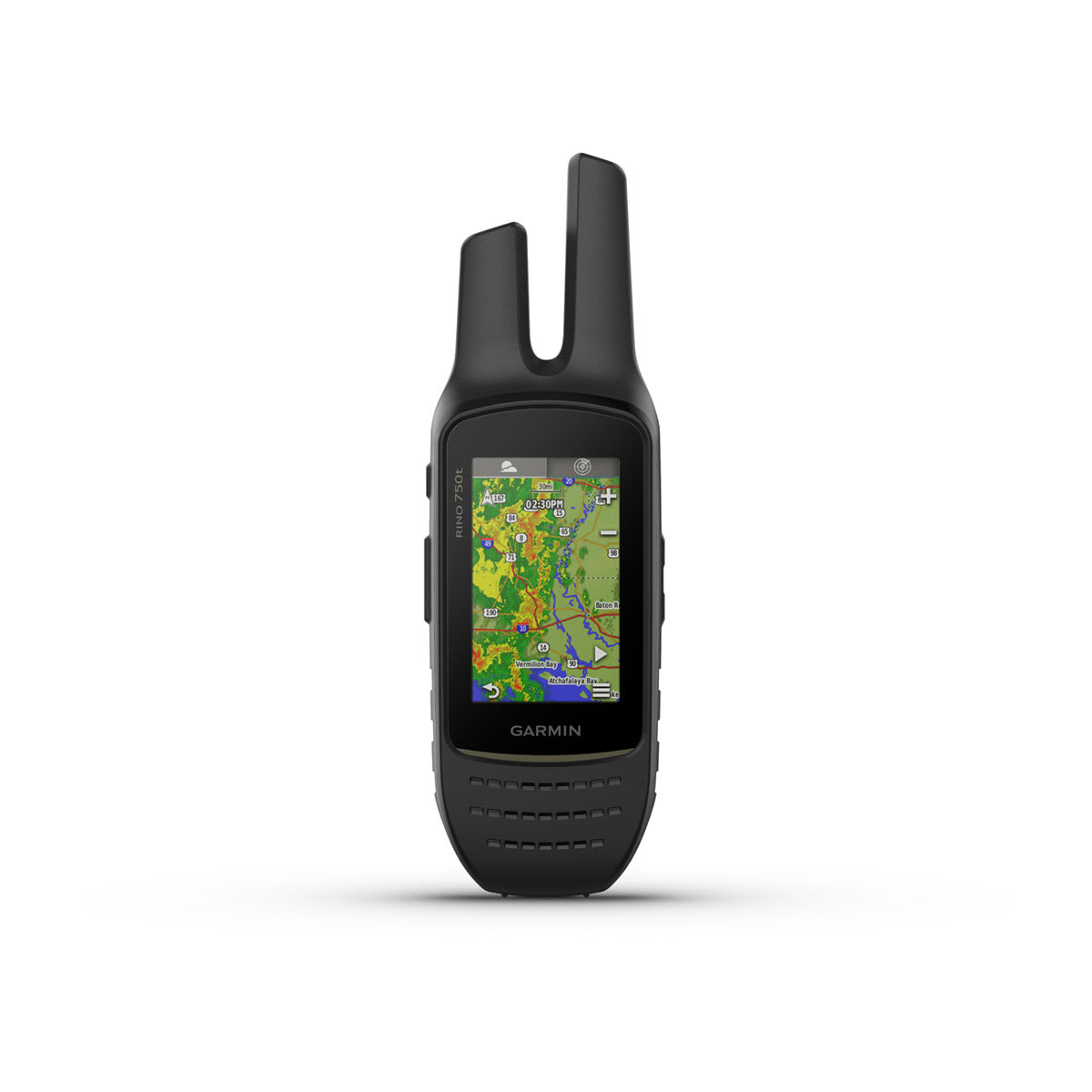
Maps & Memory
|
| Preloaded maps |
TOPO 100k U.S.; not routable
|
| Ability to add maps |
|
| Basemap |
|
| Automatic routing (turn by turn routing on roads) for outdoor activities |
Yes (with optional mapping for detailed roads) |
| Map segments |
15000 |
| Includes detailed hydrographic features (coastlines, lake/river shorelines, wetlands and perennial and seasonal streams) |
|
| Includes searchable points of interests (parks, campgrounds, scenic lookouts and picnic sites) |
|
| Displays national, state and local parks, forests, and wilderness areas |
|
| External memory storage |
yes (32GB max microSD card) |
| Waypoints/favorites/locations |
10000 |
| Tracks |
250 |
| Navigation Track Log |
20000 points, 200 saved tracks |
| Navigation Routes |
250, 250 points per route; 50 points auto routing |
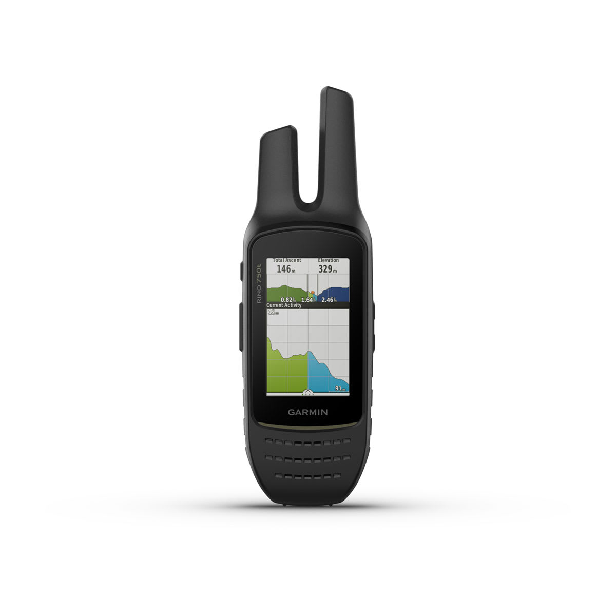
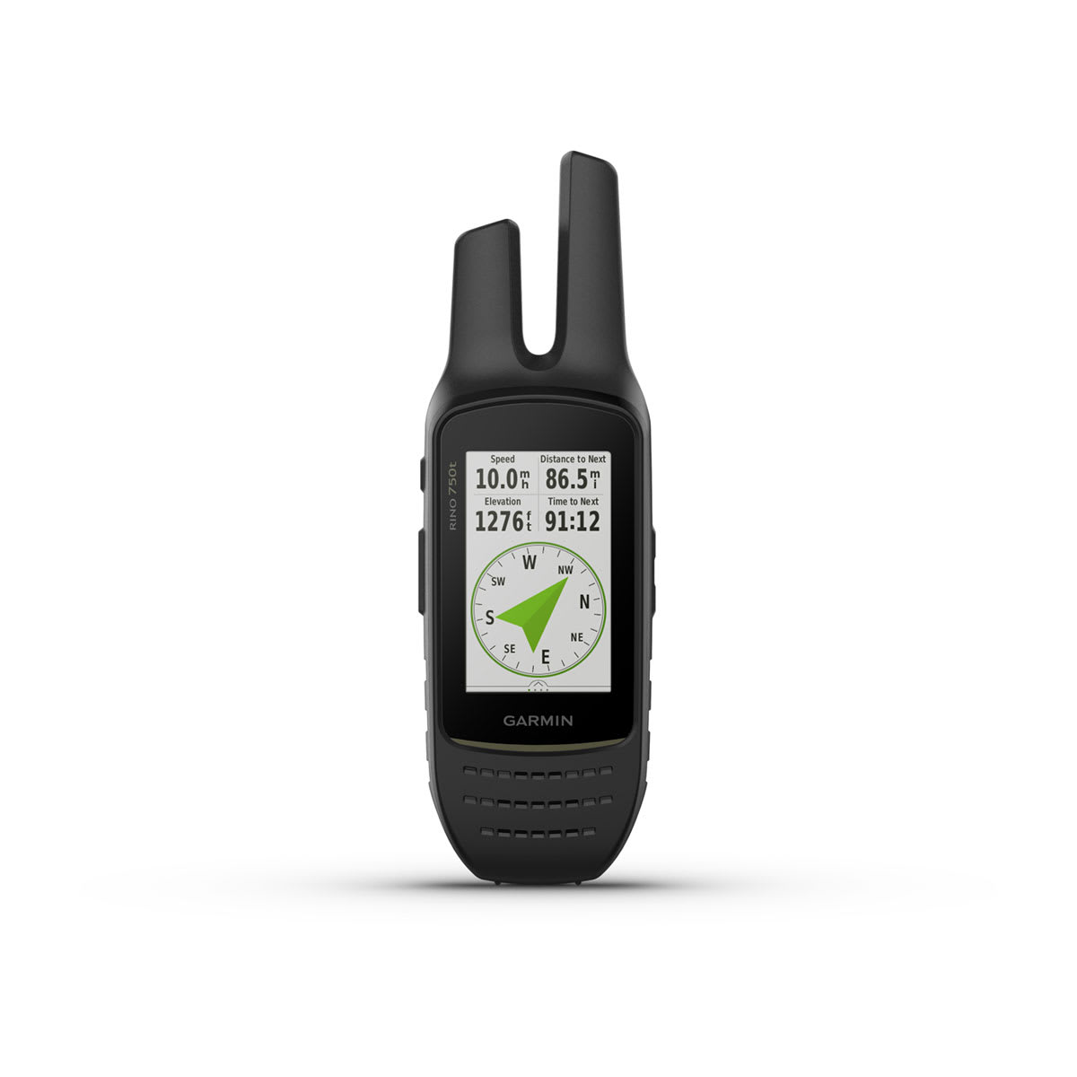
Sensors
|
| GPS |
|
| GLONASS |
|
| Barometric altimeter |
|
| Compass |
Yes (tilt-compensated 3-axis) |
| High-sensitivity receiver |
|
| GPS compass (while moving) |
|
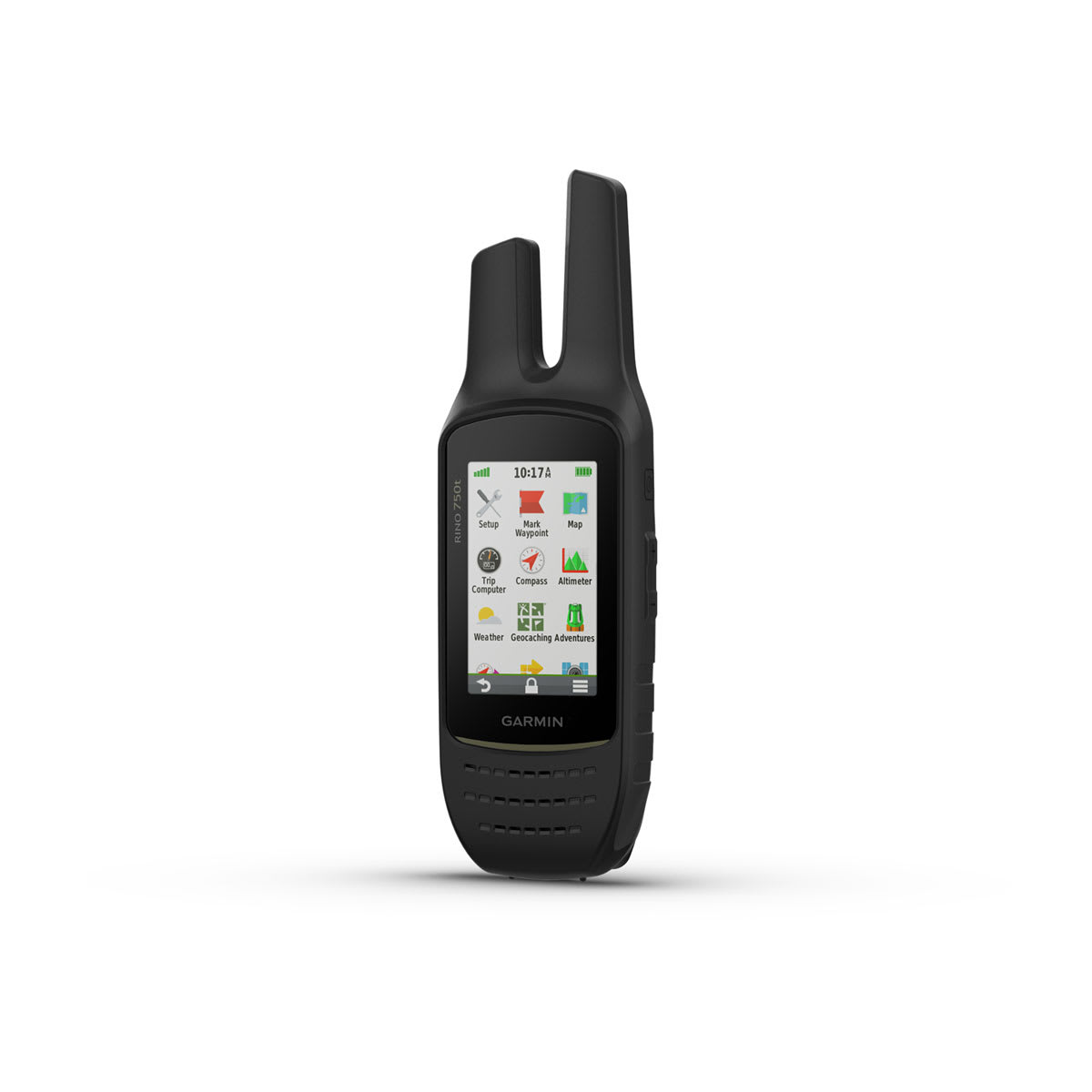
Daily Smart Features
|
| Connect IQ™ (downloadable watch faces, data fields and apps) |
|
| Smart notifications on handheld |
|
| Weather forecasts |
|
| Weather |
|
| VIRB® Remote |
|
| Pairs with Garmin Connect™ Mobile |
|
Safety and Tracking Features
|
| LiveTrack |
|
Tactical Features
|
| XERO™ Locations |
|
Outdoor Recreation
|
| Point-to-point navigation |
|
| Area calculation |
|
| Fish forecast |
|
| Sun and moon information |
|
| Geocaching-friendly |
yes (Geocache Live) |
| Custom maps compatible |
yes (500 custom map tiles) |
| Picture viewer |
|
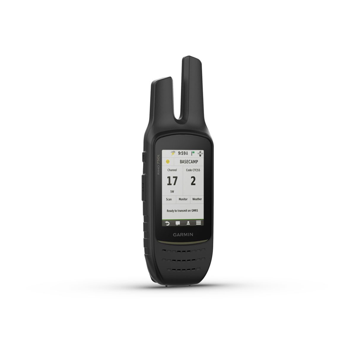
Radio Features
|
| Frequency band |
GMRS |
| Channels |
22 |
| Squelch codes |
38 (CTCSS); 83 (DCS) |
| Range |
Up to 20 miles over GMRS |
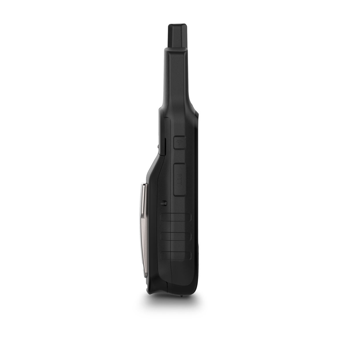
| VOX (voice activation) |
|
| Location reporting (send and receive GPS positions) |
|
| Vibration alert |
|
| Contacts |
50 contacts with 2000 track points each |
Sonar Features
|
| Transmit power |
5.0 watts, GMRS |
Networking & Connections
|
| Wireless Connectivity |
Bluetooth®, ANT+®
|